
Story #
In March 2026, I spent a day driving around the Satsuma Peninsula in Kagoshima Prefecture.
I left my hotel in Kagoshima City in the morning and visited Chiran Peace Museum. I then walked around Cape Nagasakibana, the southernmost point of the Satsuma Peninsula, before relaxing at Tamatebako Onsen and returning to Kagoshima City.
Chiran Peace Museum #
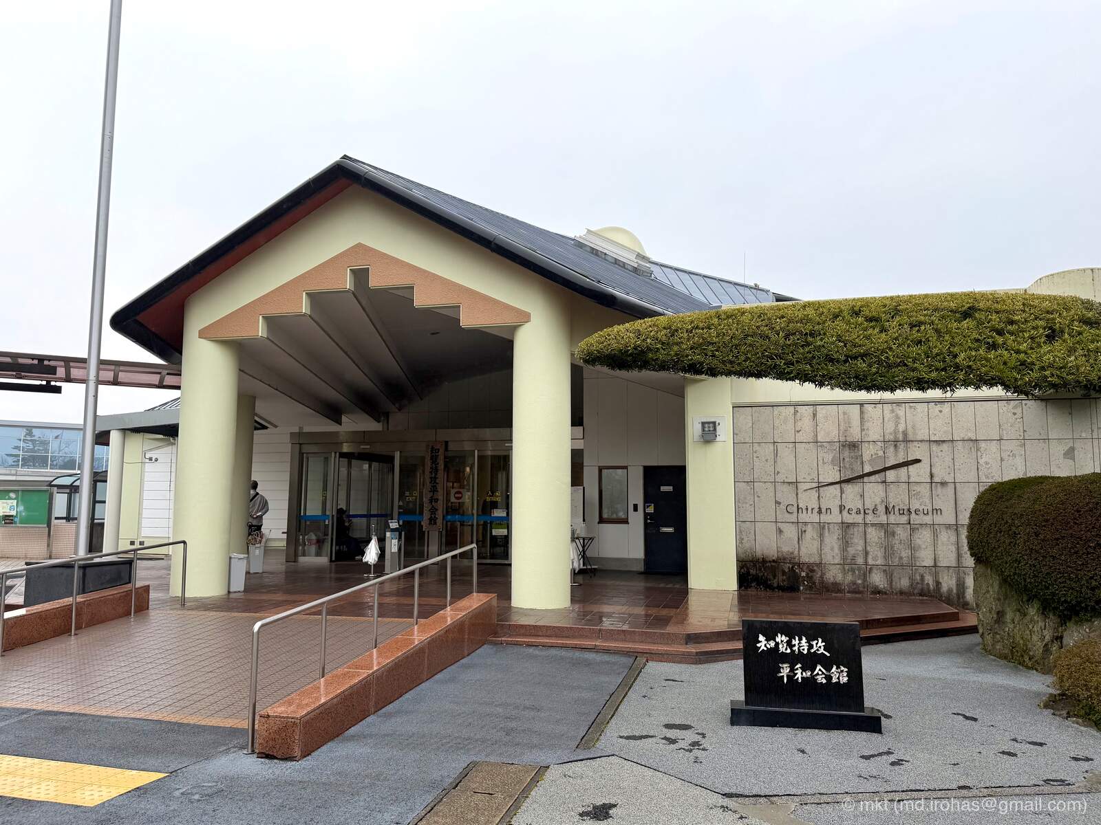
My first stop was Chiran Peace Museum in Minamikyushu.
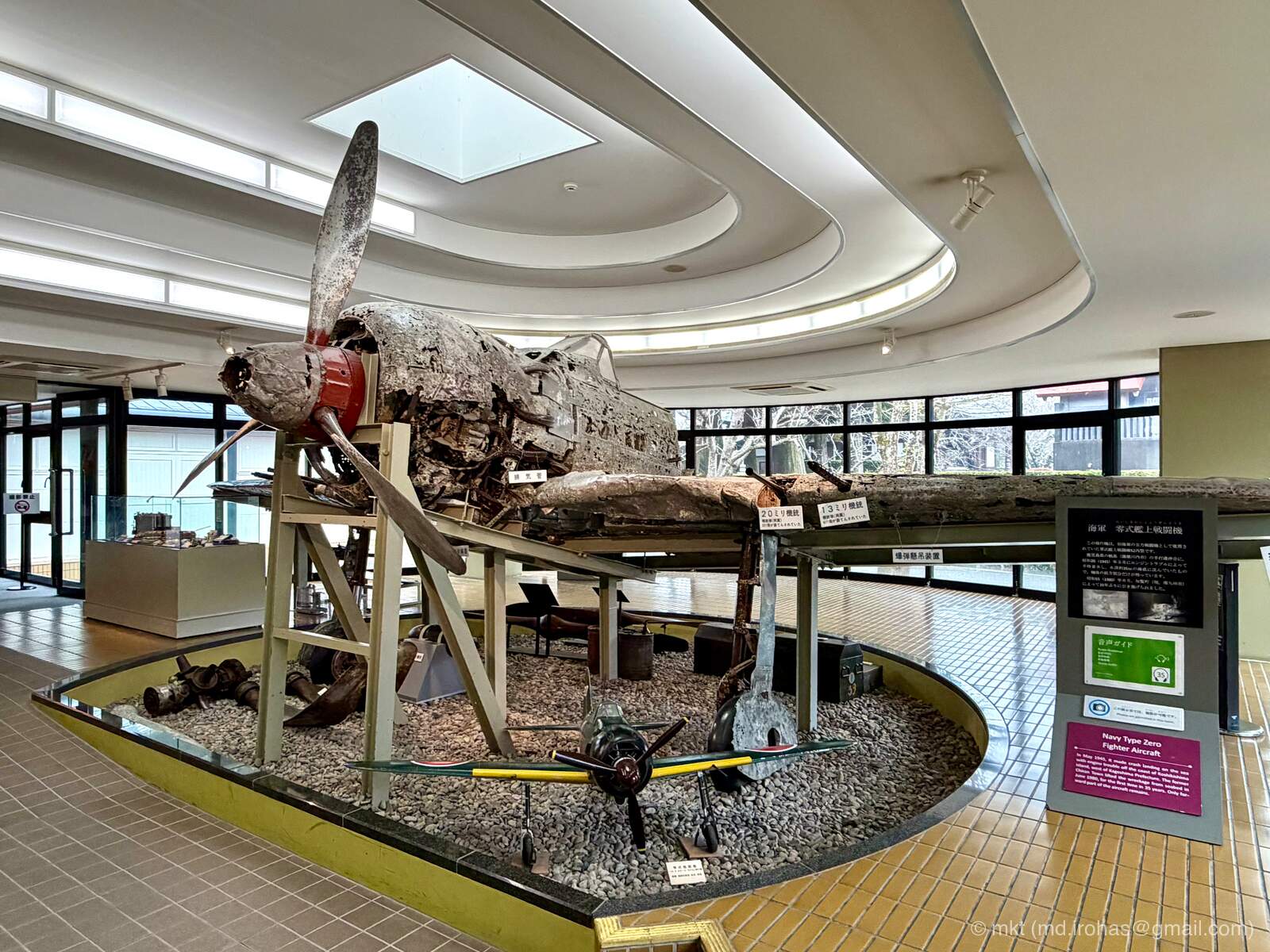
During the final months of World War II, Chiran served as a departure base for Imperial Japanese Army special attack units (Wikipedia), commonly known outside Japan as kamikaze. The museum displays portrait photographs, farewell letters, personal effects, historical materials, and military aircraft related to the pilots.
- Chiran Peace Museum: https://www.chiran-tokkou.jp/en/
Admission was 500 yen per adult. Photography is prohibited in most parts of the museum.
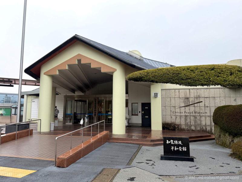
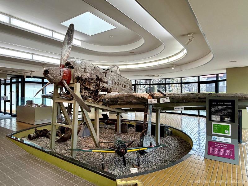
Through videos and original artifacts, the exhibits trace the lives of the pilots and the circumstances that led to their final sorties. Given the weight of the subject, I will not go into detail here, but the exhibits left me with a great deal to reflect on.
I spent about two hours at the museum. Anyone wishing to examine every artifact and video carefully may want to allow even more time.
Museum Chiran, located next door, was closed that day, so I was unable to visit it.
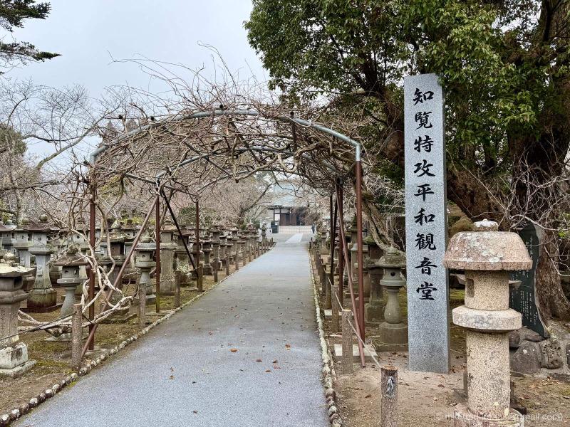
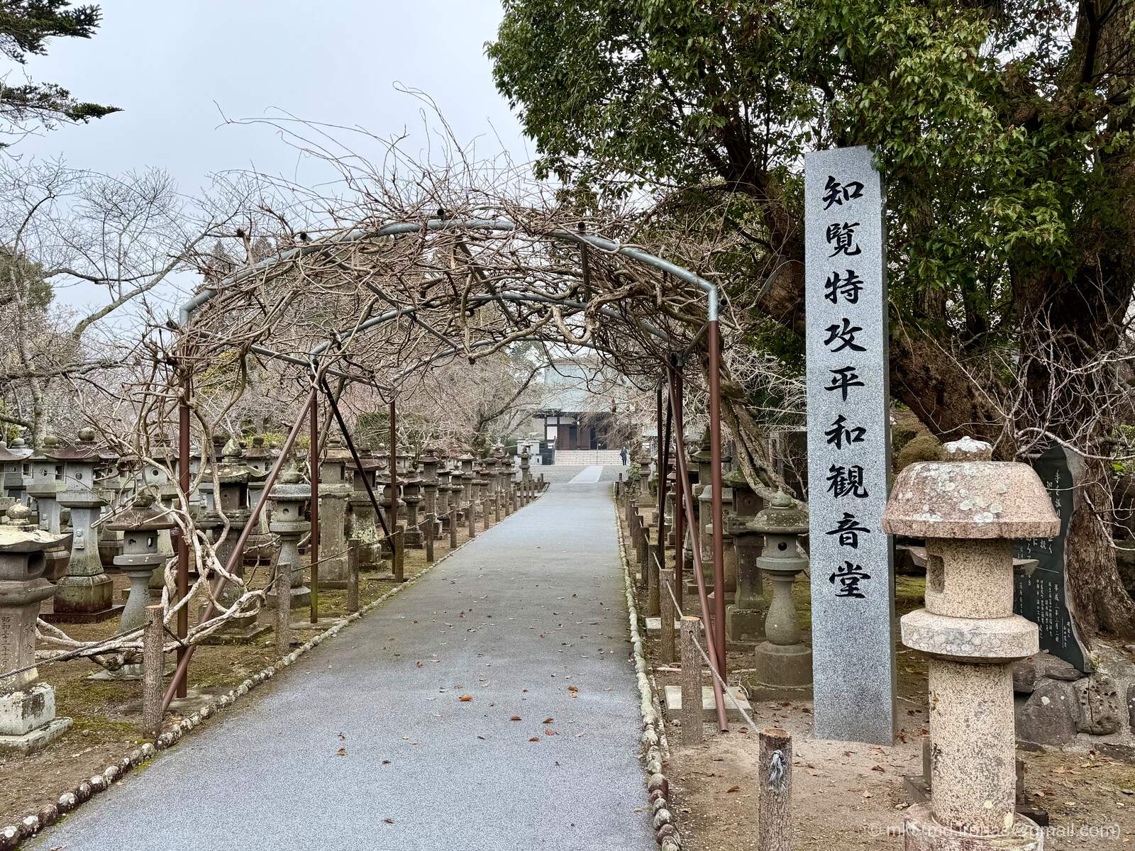
After leaving the museum, I stopped by the nearby Chiran Tokko Peace Kannon Hall. It was built on the former site of Chiran Airfield in 1955 to commemorate the pilots and pray for peace.
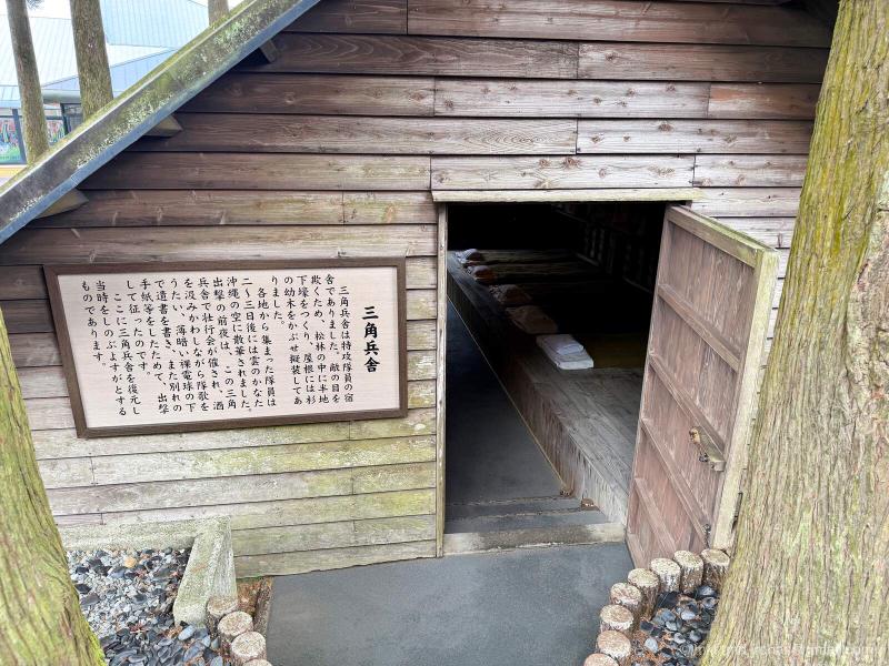
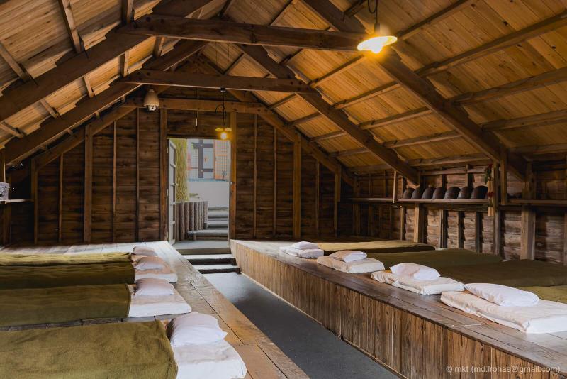
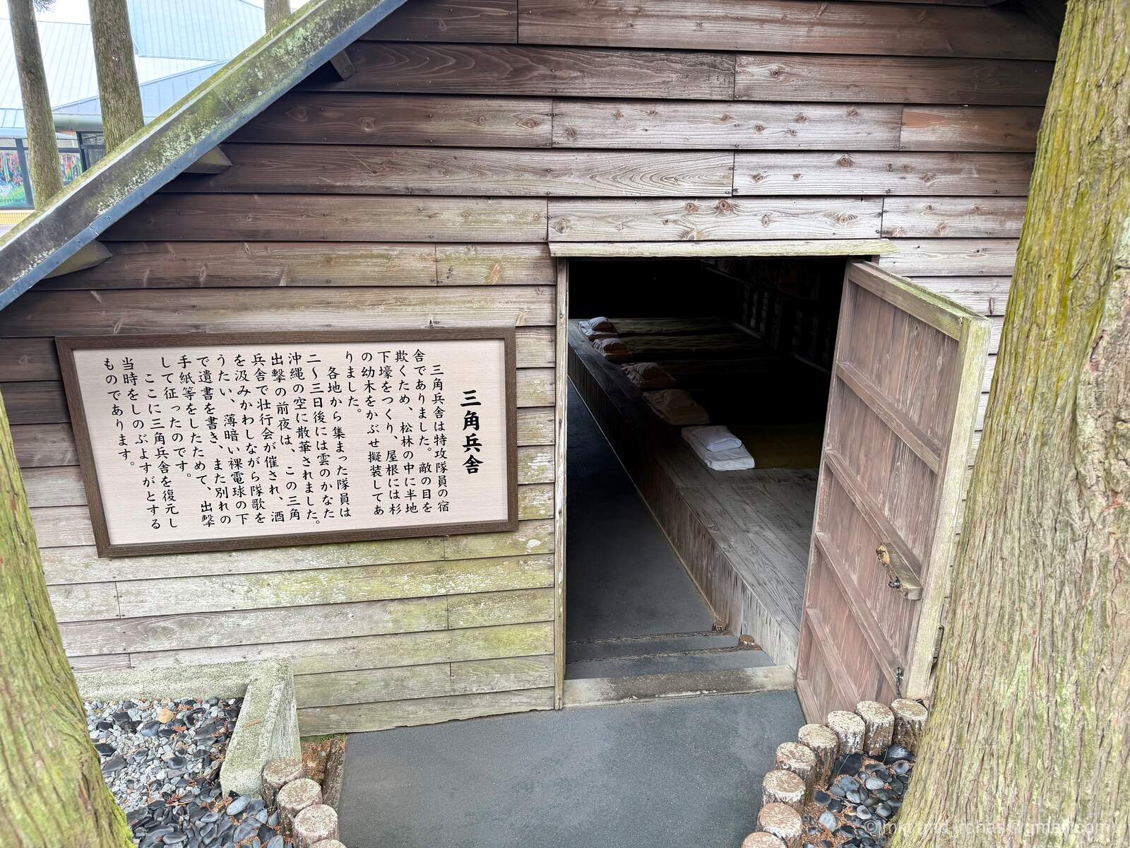
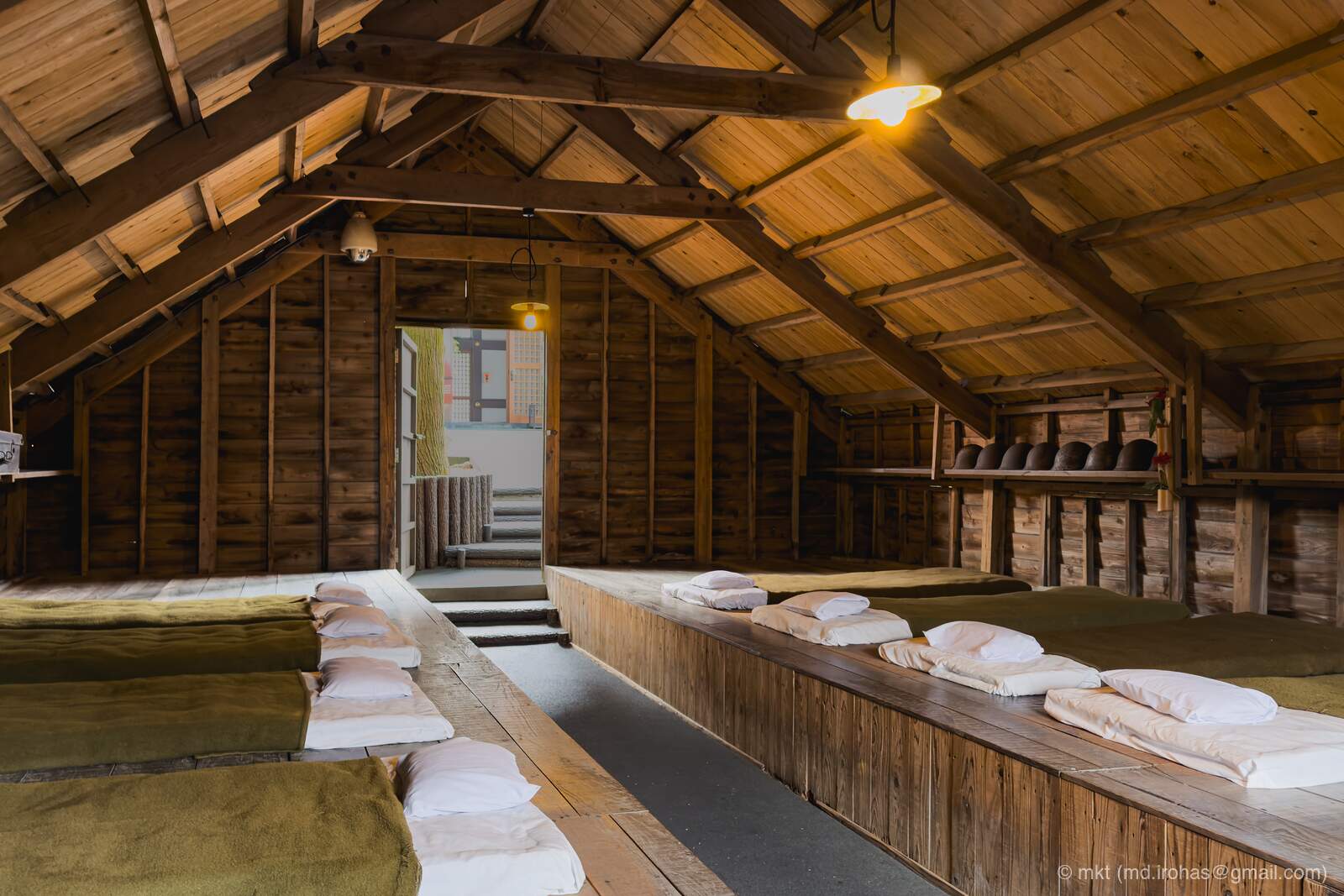
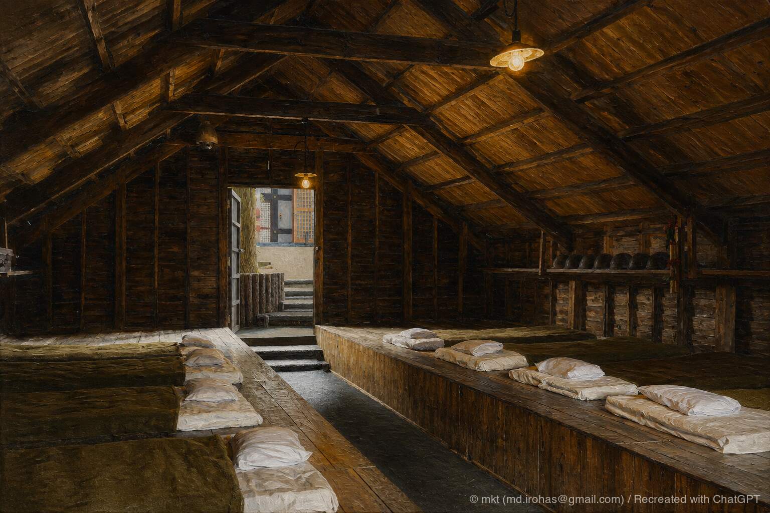
Near the hall is a reconstruction of one of the triangular barracks where the pilots stayed before their sorties. Visitors can step inside and see its simple, partially underground construction.
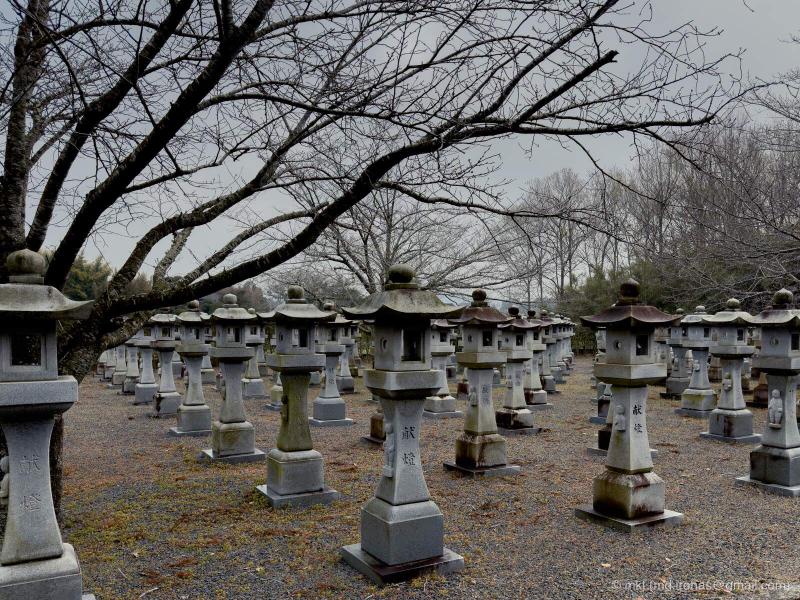
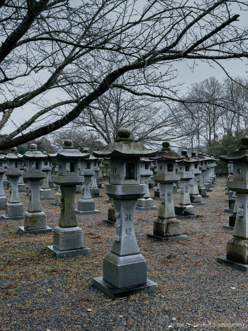
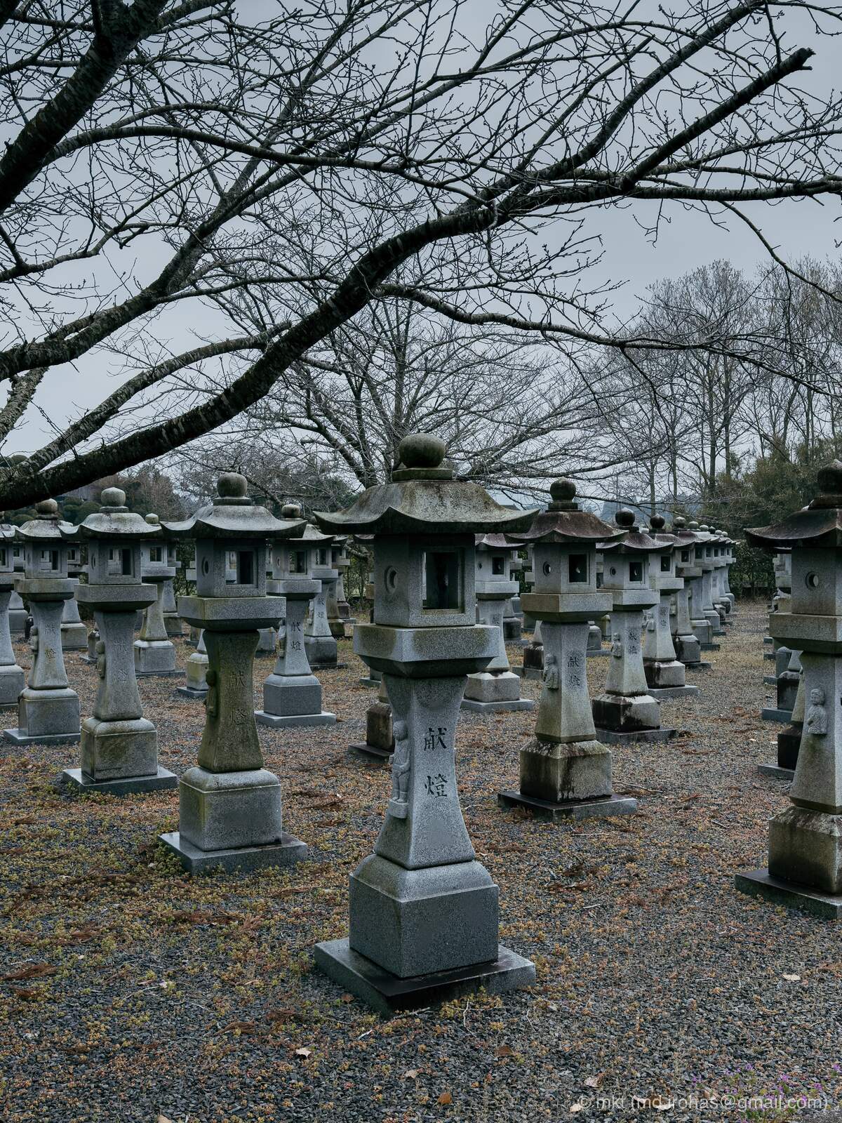
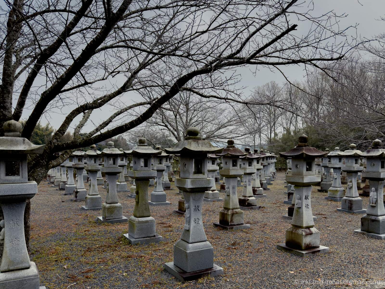
Rows of stone lanterns dedicated to the pilots stand throughout the grounds.
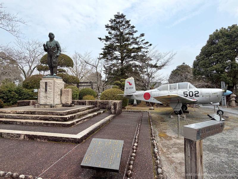
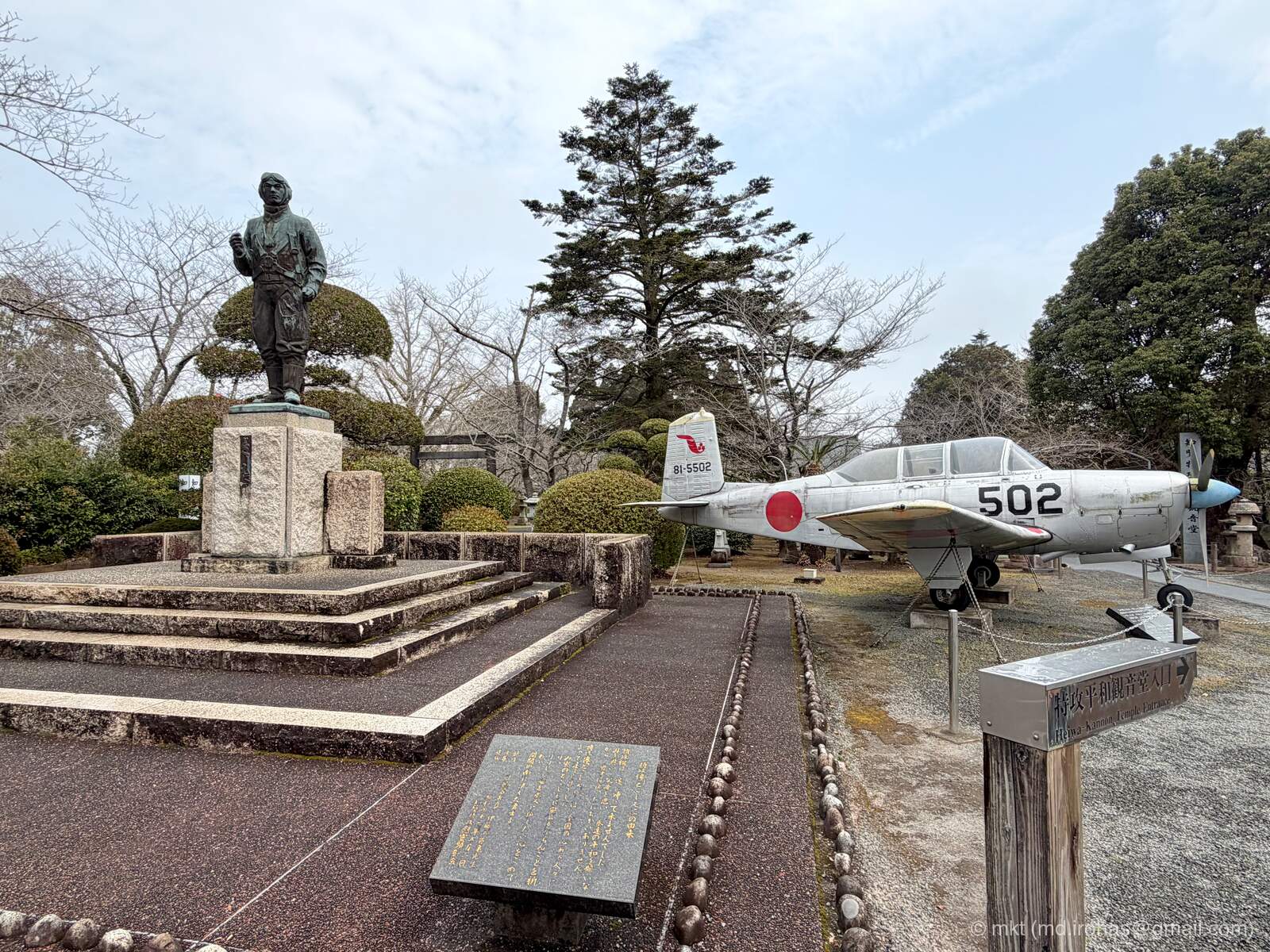
Near the entrance to the museum stand a statue of a kamikaze pilot and a Japan Air Self-Defense Force T-3 primary trainer aircraft.
More than 80 years after the war, this remains an important place to learn about the conflict through the history of the kamikaze pilots.
Cape Nagasakibana #
After leaving Chiran, I headed to Cape Nagasakibana in Ibusuki, the southernmost point of the Satsuma Peninsula.
- Cape Nagasakibana (Japanese only): https://www.ibusuki.or.jp/tourism/view/nagasakibana/
There are several souvenir shops and tourist facilities with parking lots around the cape, which made it difficult to tell where I should park. I eventually left the car at a free municipal parking lot beside the road and walked toward the cape.
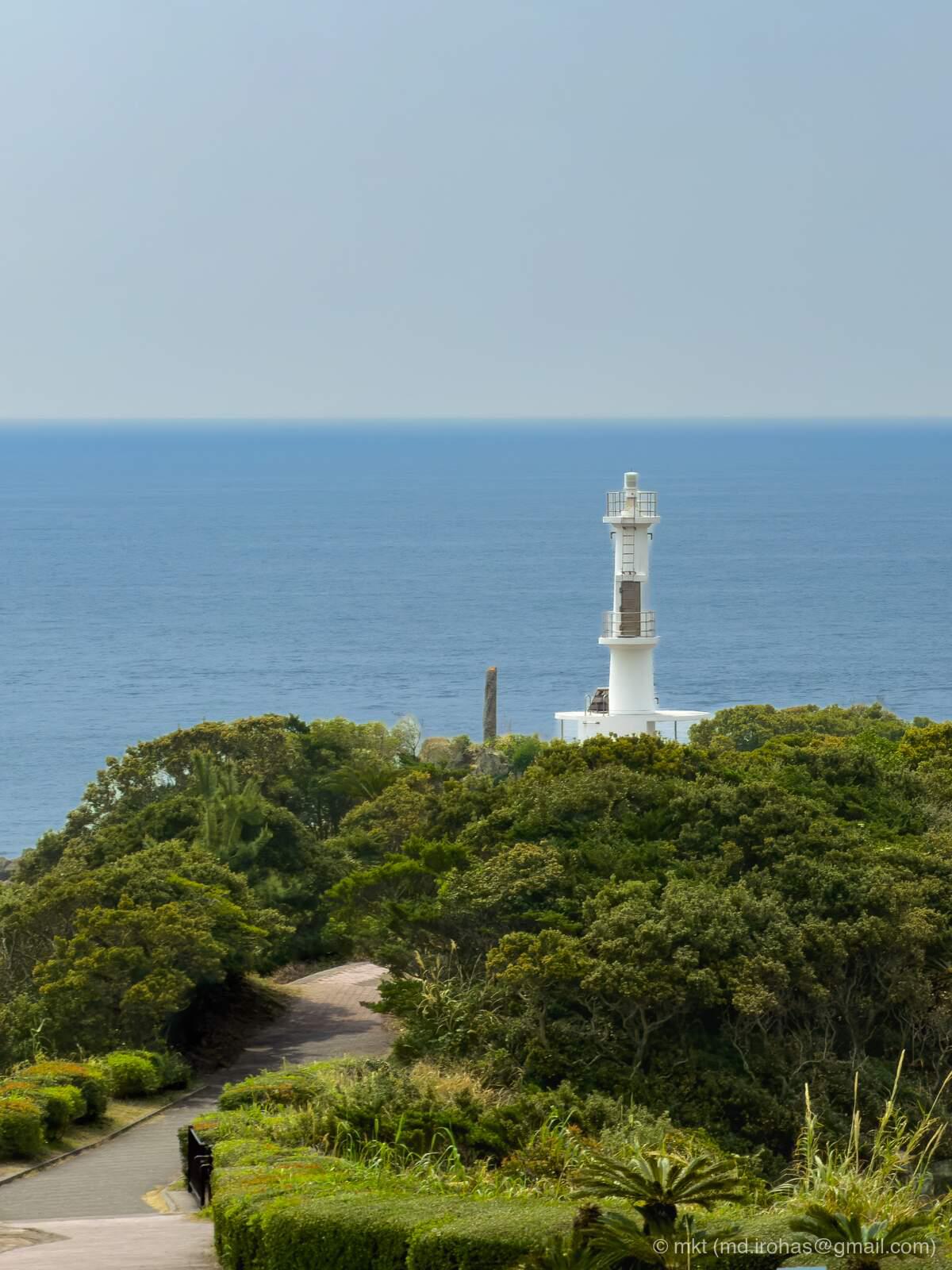
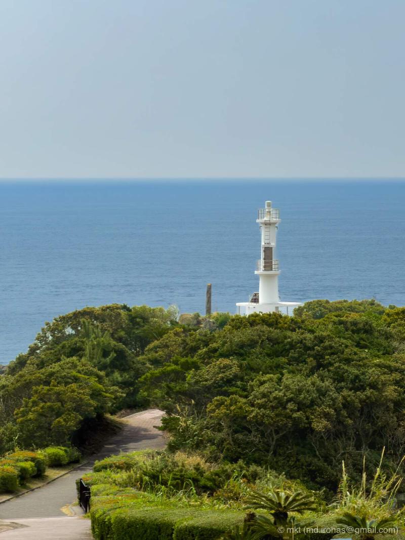
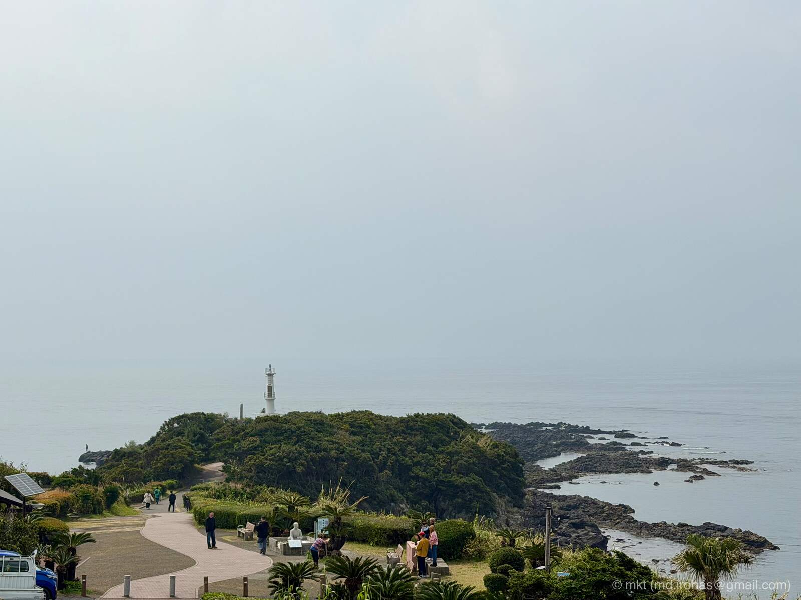
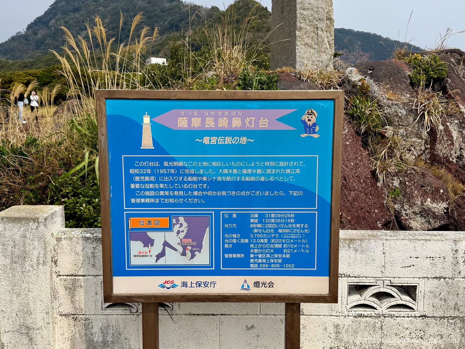
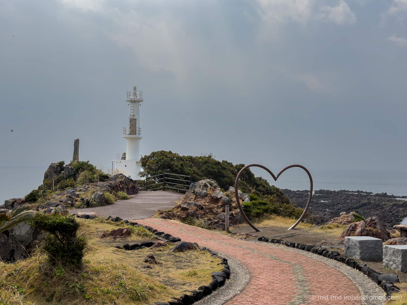
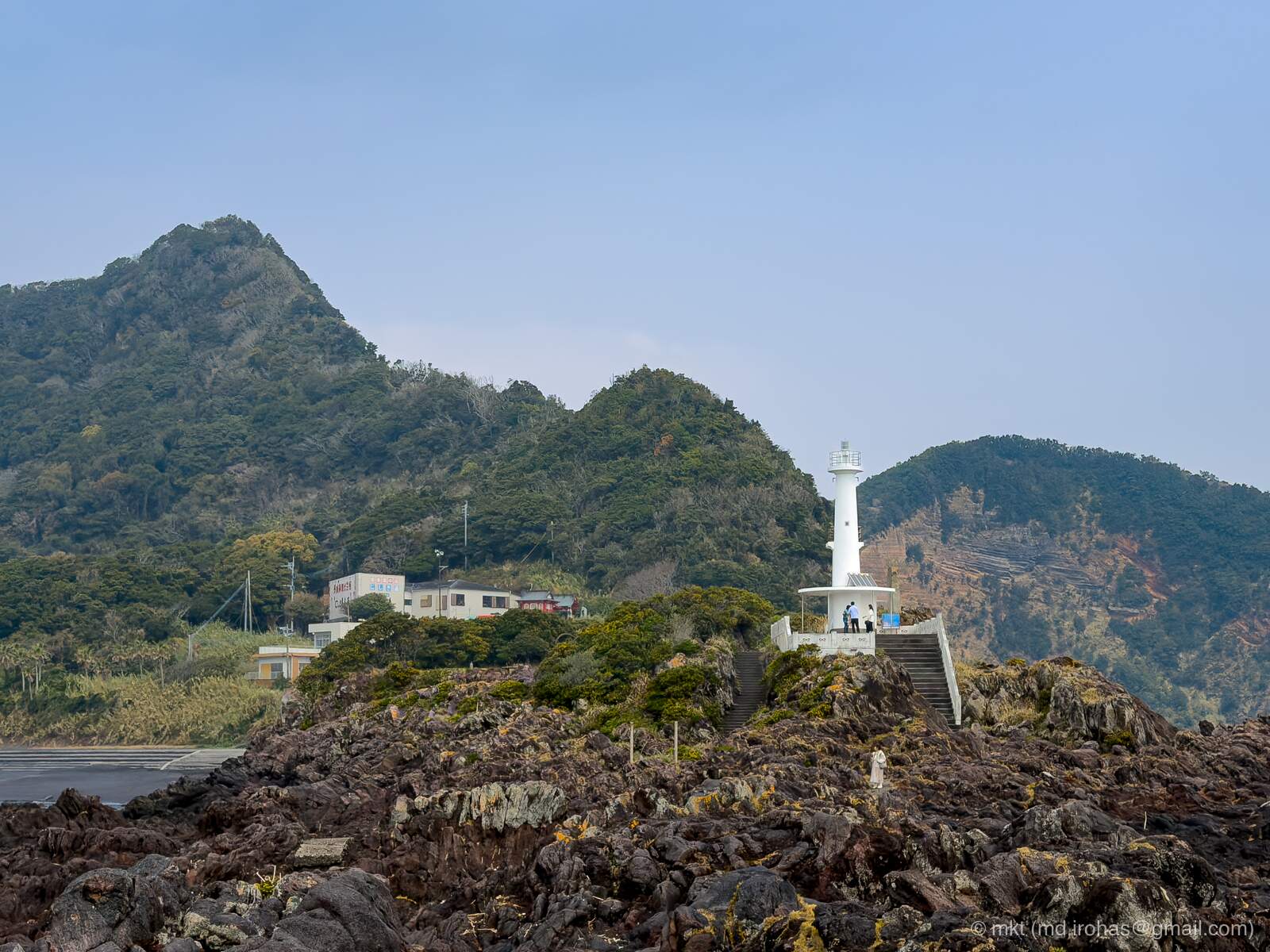
After a few minutes, the cape and its lighthouse came into view.
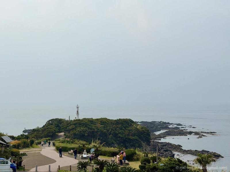
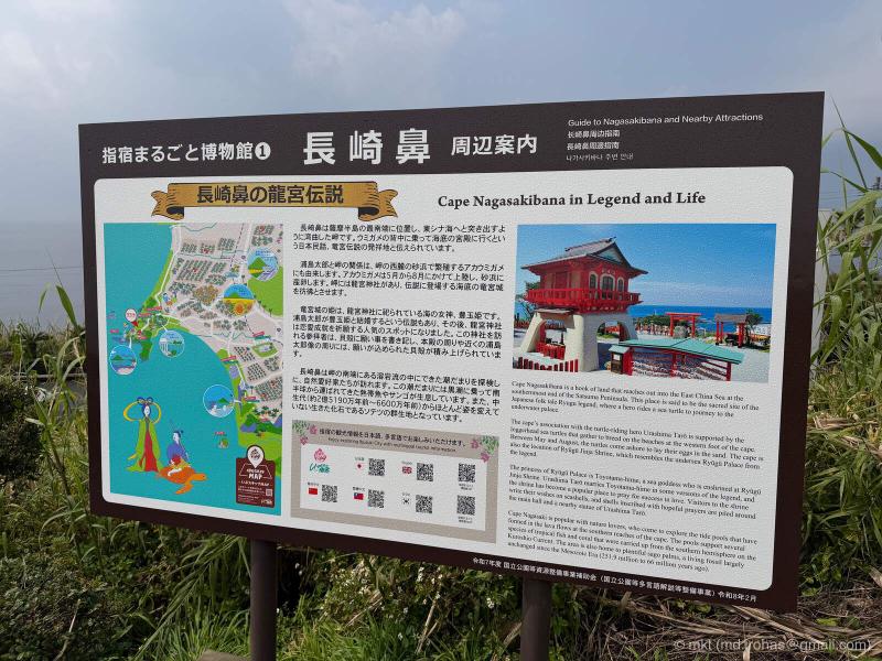
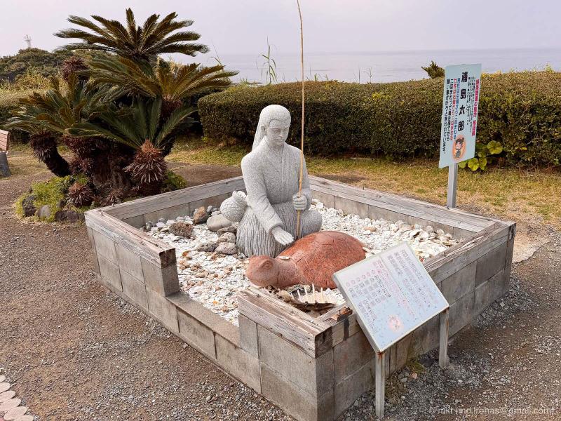
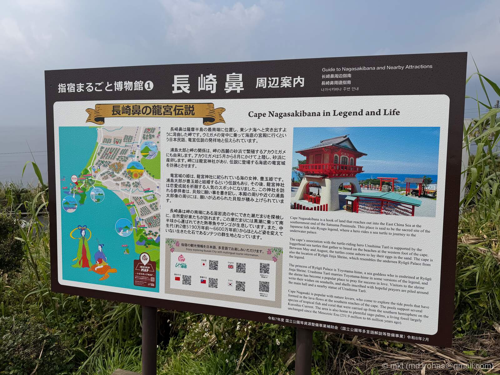
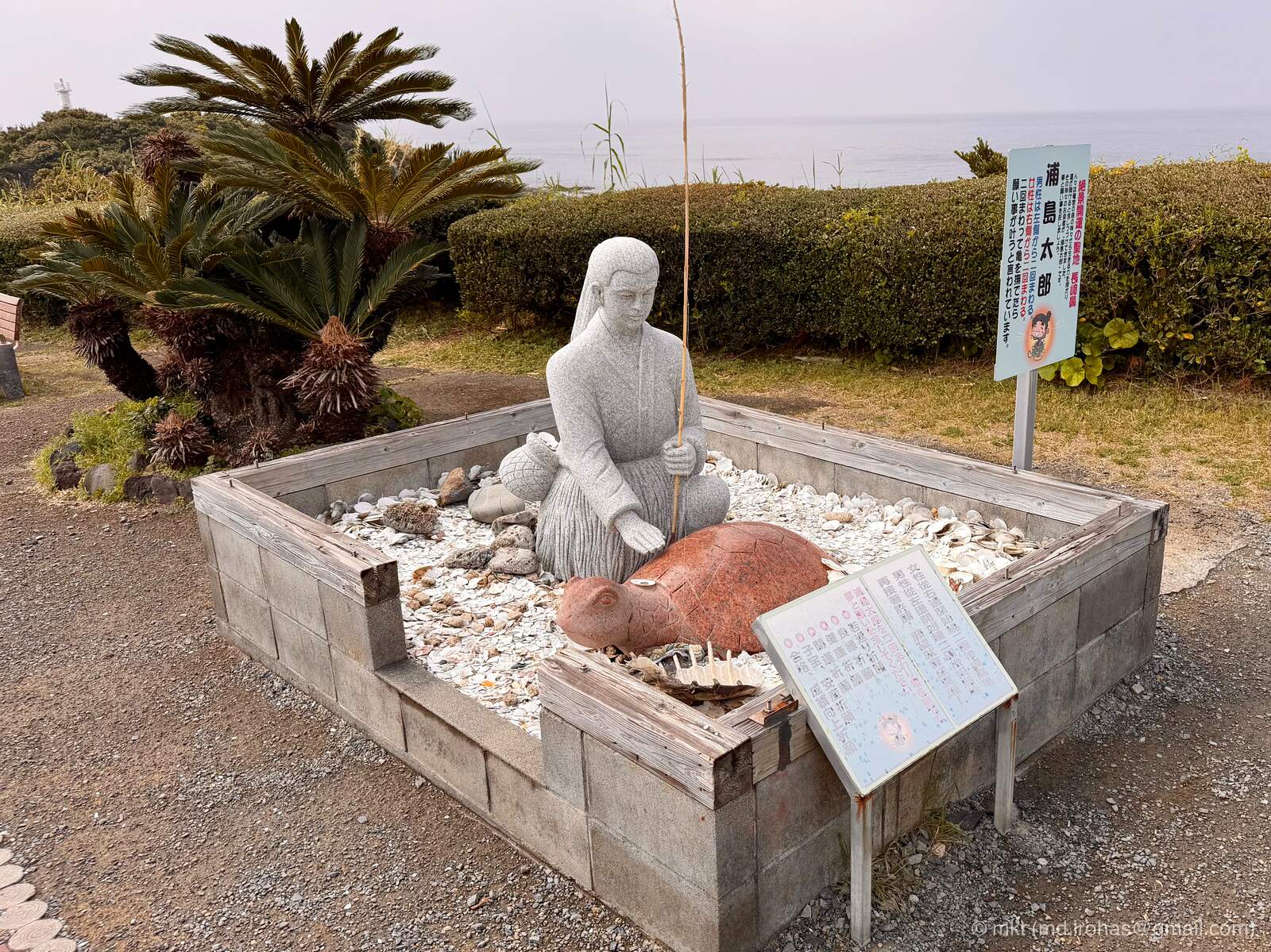
Cape Nagasakibana is associated with the legend of Urashima Taro (Wikipedia), a fisherman in a Japanese folktale who travels beneath the sea to the Dragon Palace. Statues of Urashima Taro and the turtle that carries him there stand near the cape.
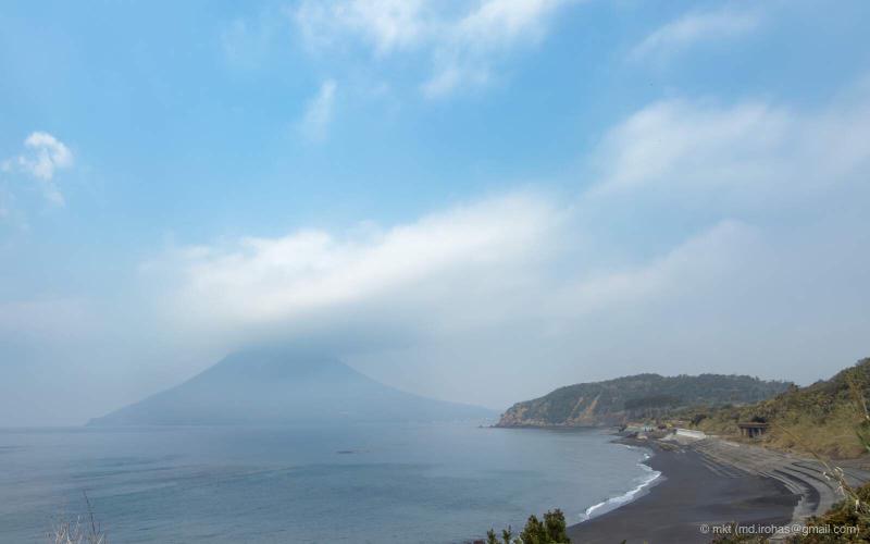
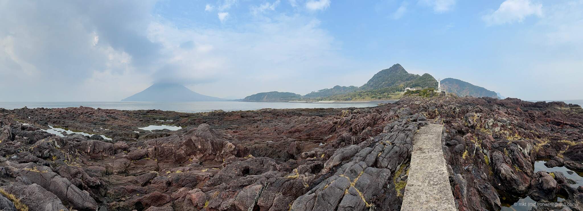
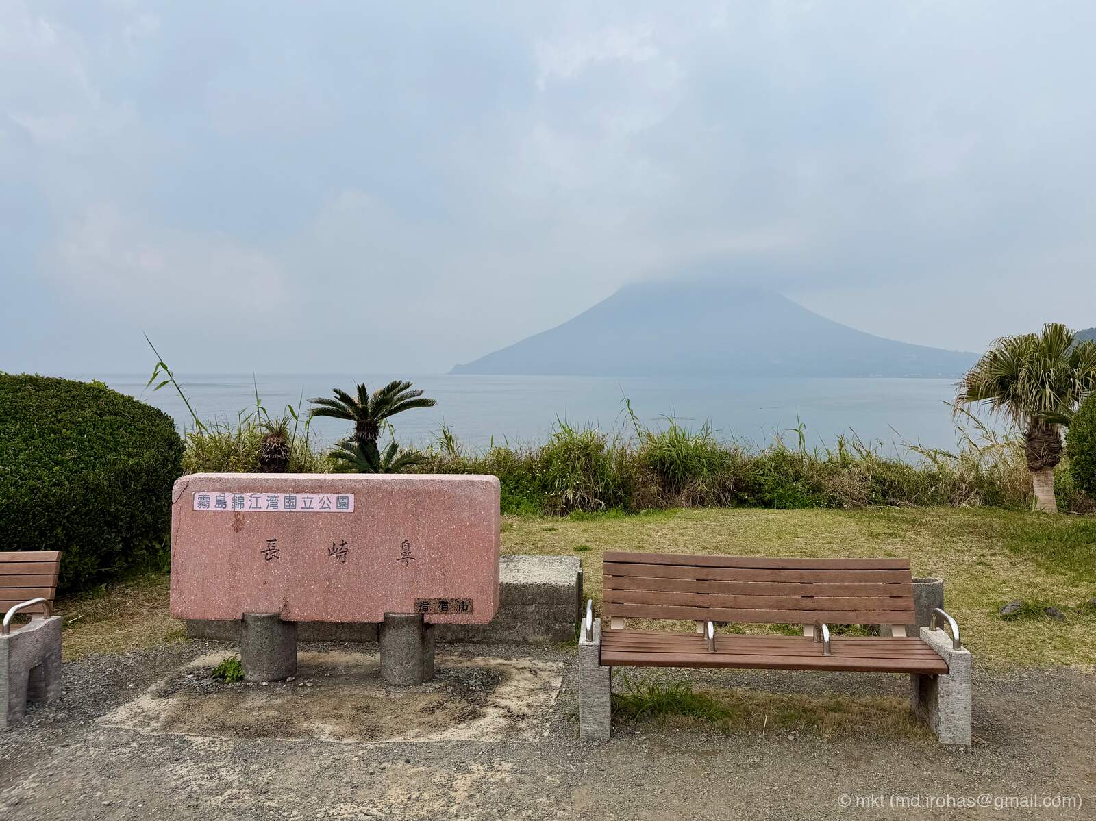
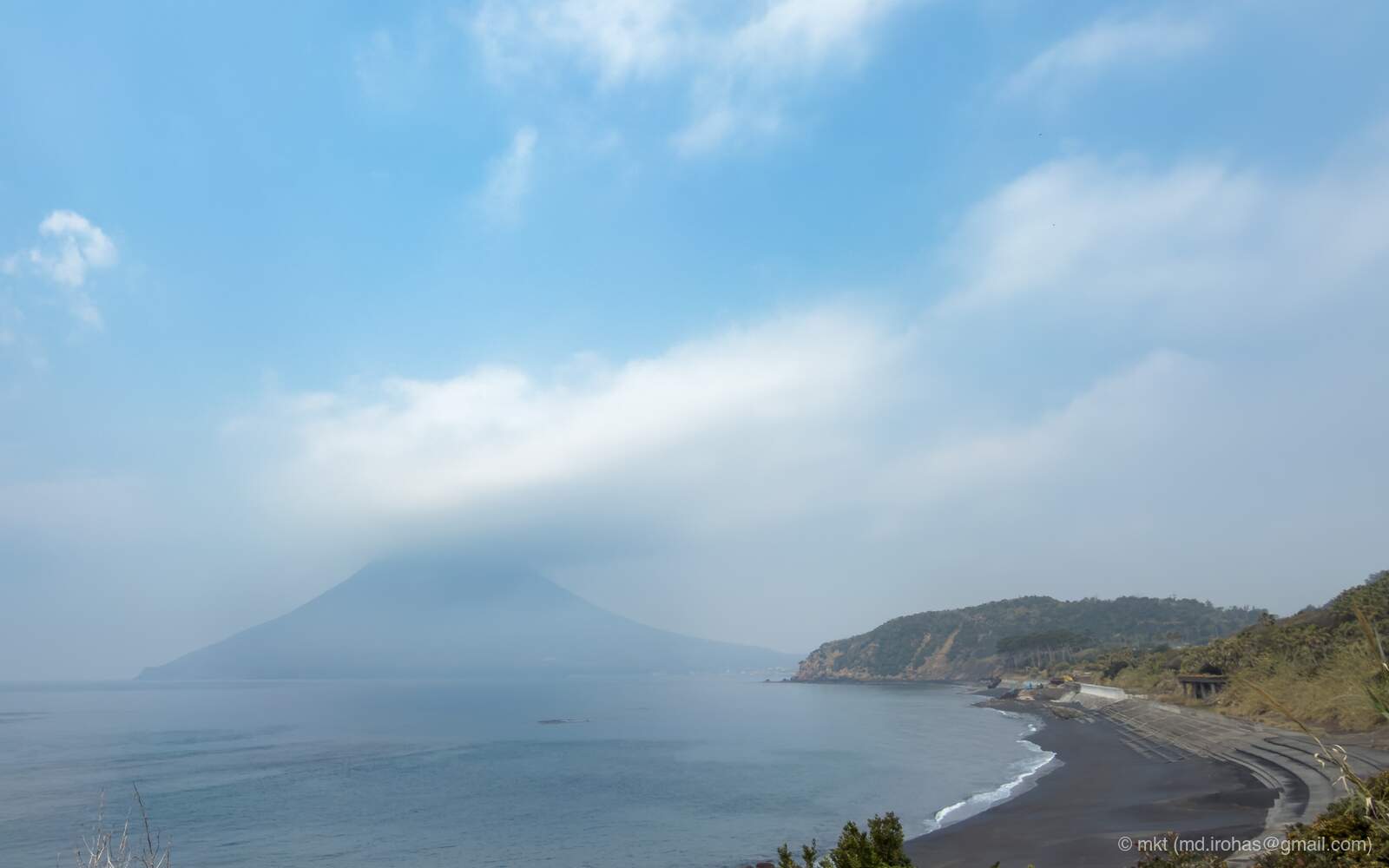
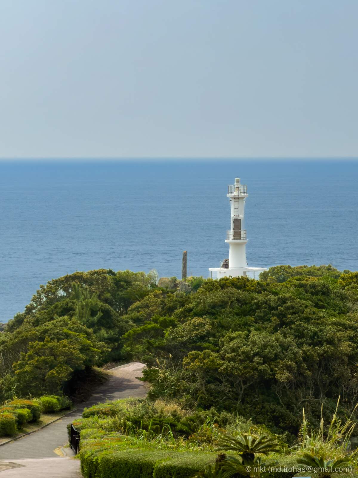
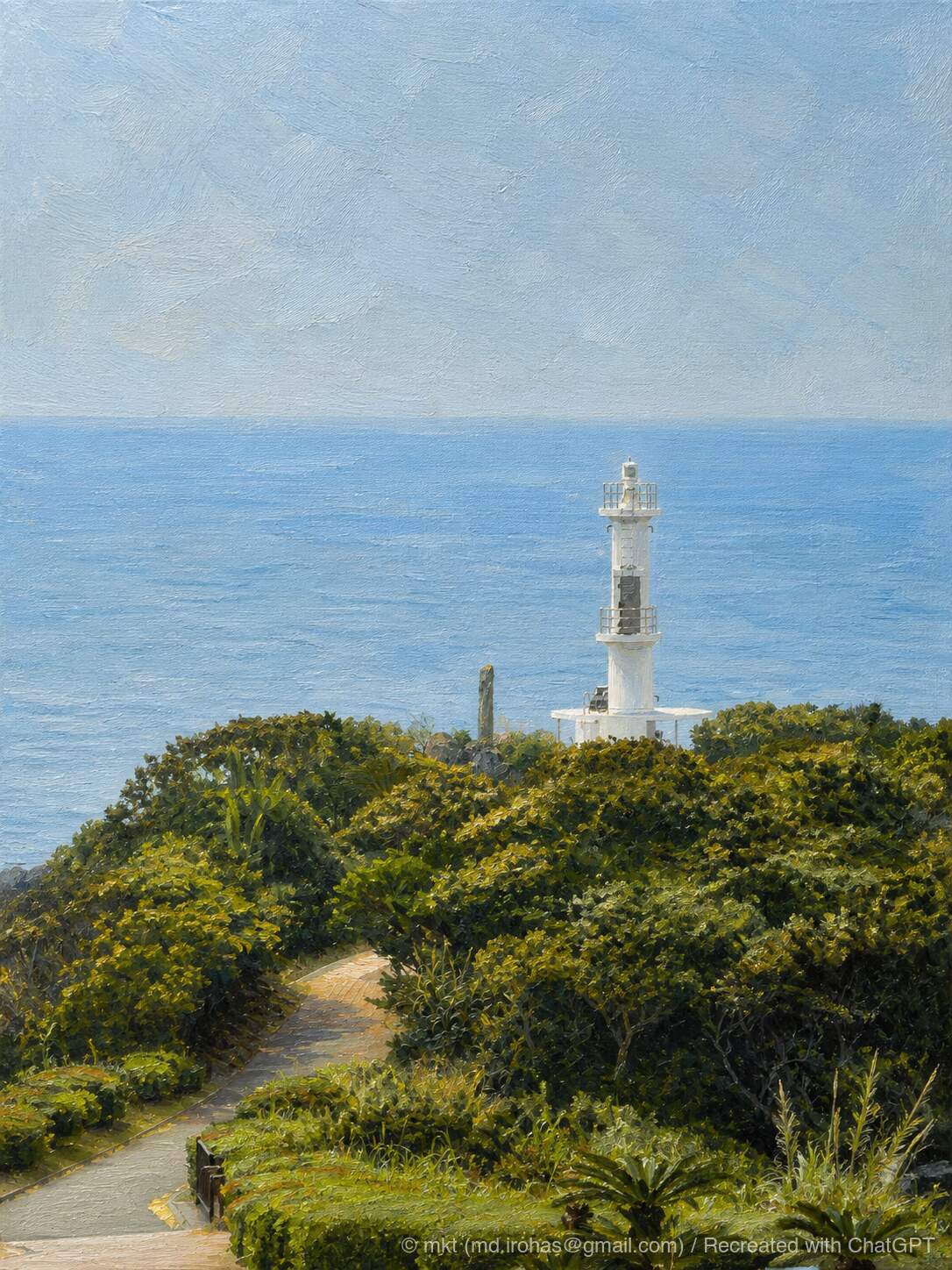
Mount Kaimon is visible from the walking path, and Satsuma-Nagasaki Lighthouse stands farther ahead. The heart-shaped installation in the photo appears to be part of the “Lighthouse for Lovers” project.
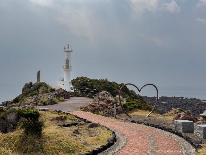
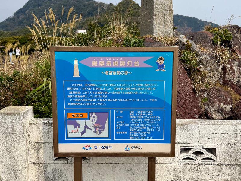
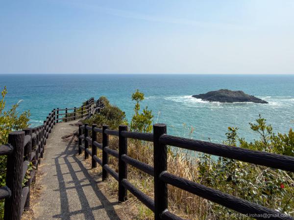
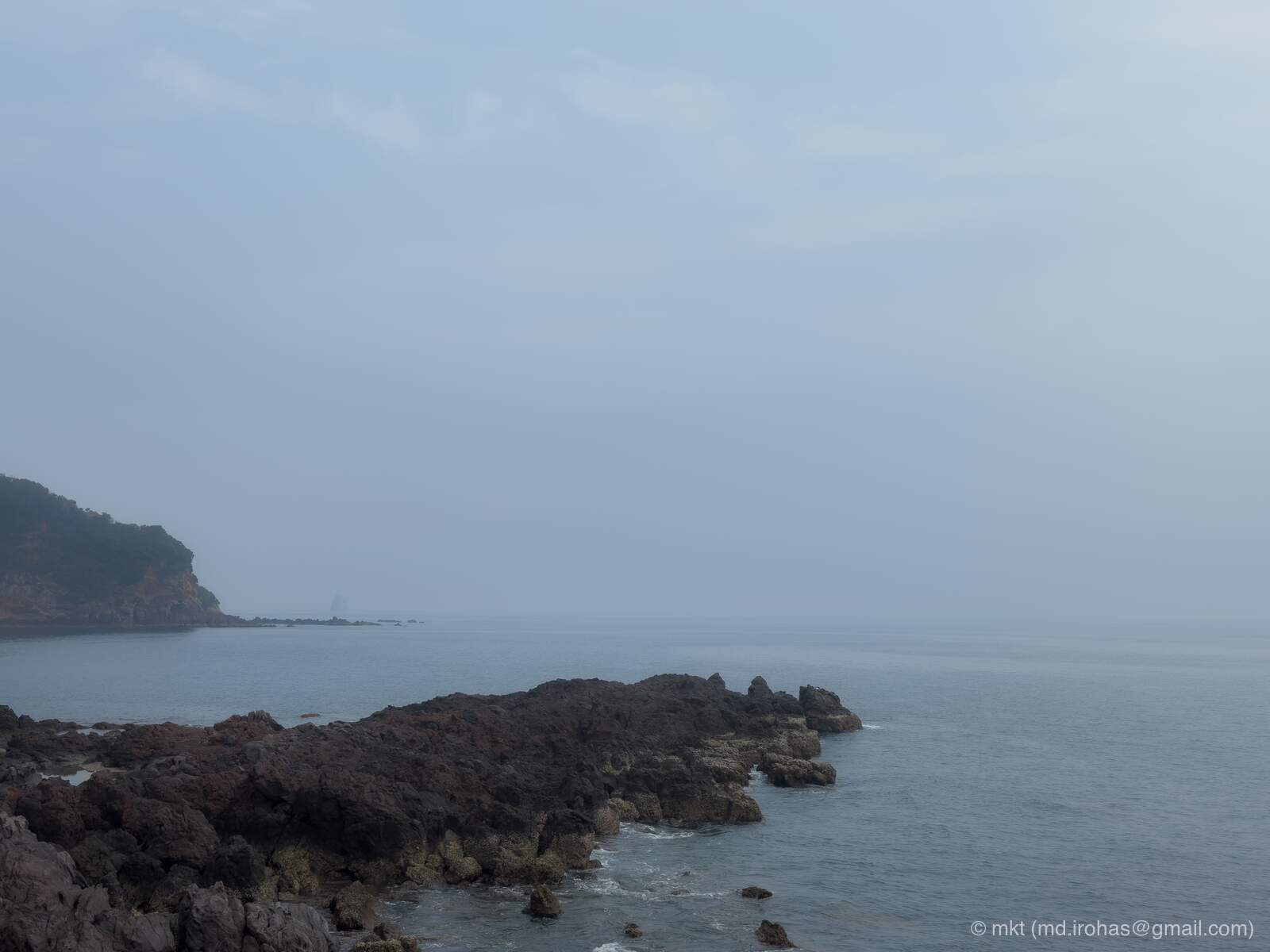
Beyond the lighthouse, a flight of stairs leads down to a rugged shoreline of dark brown rock. Narrow concrete paths run between parts of the rocky terrain, allowing visitors to walk close to the tip of the cape.
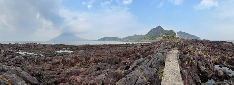
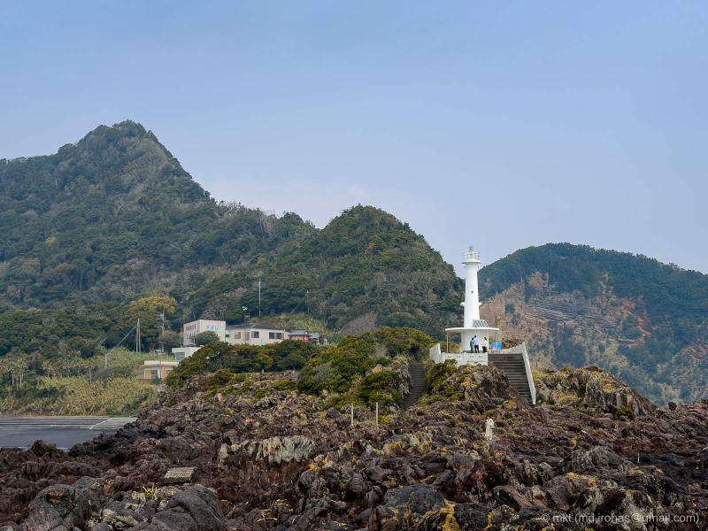
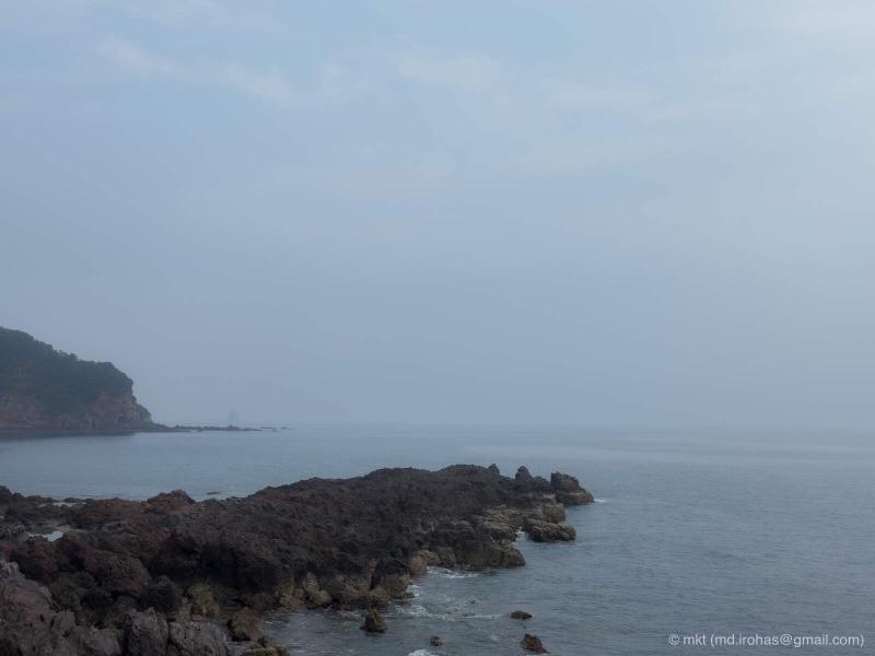
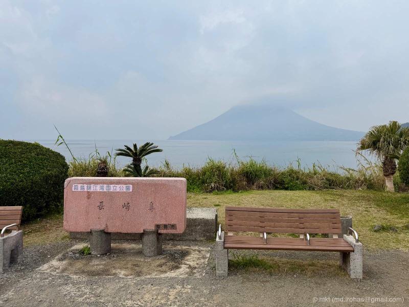
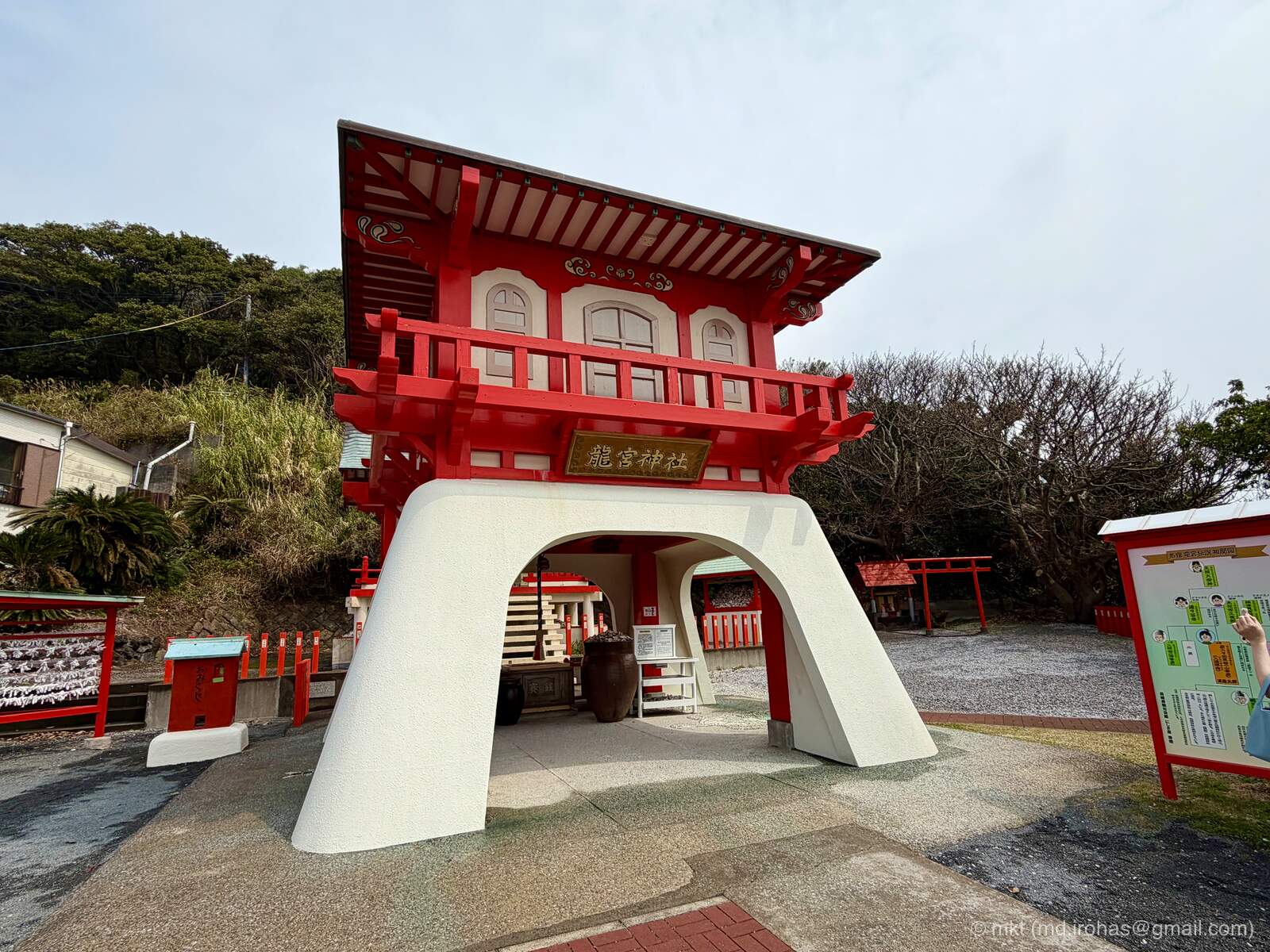
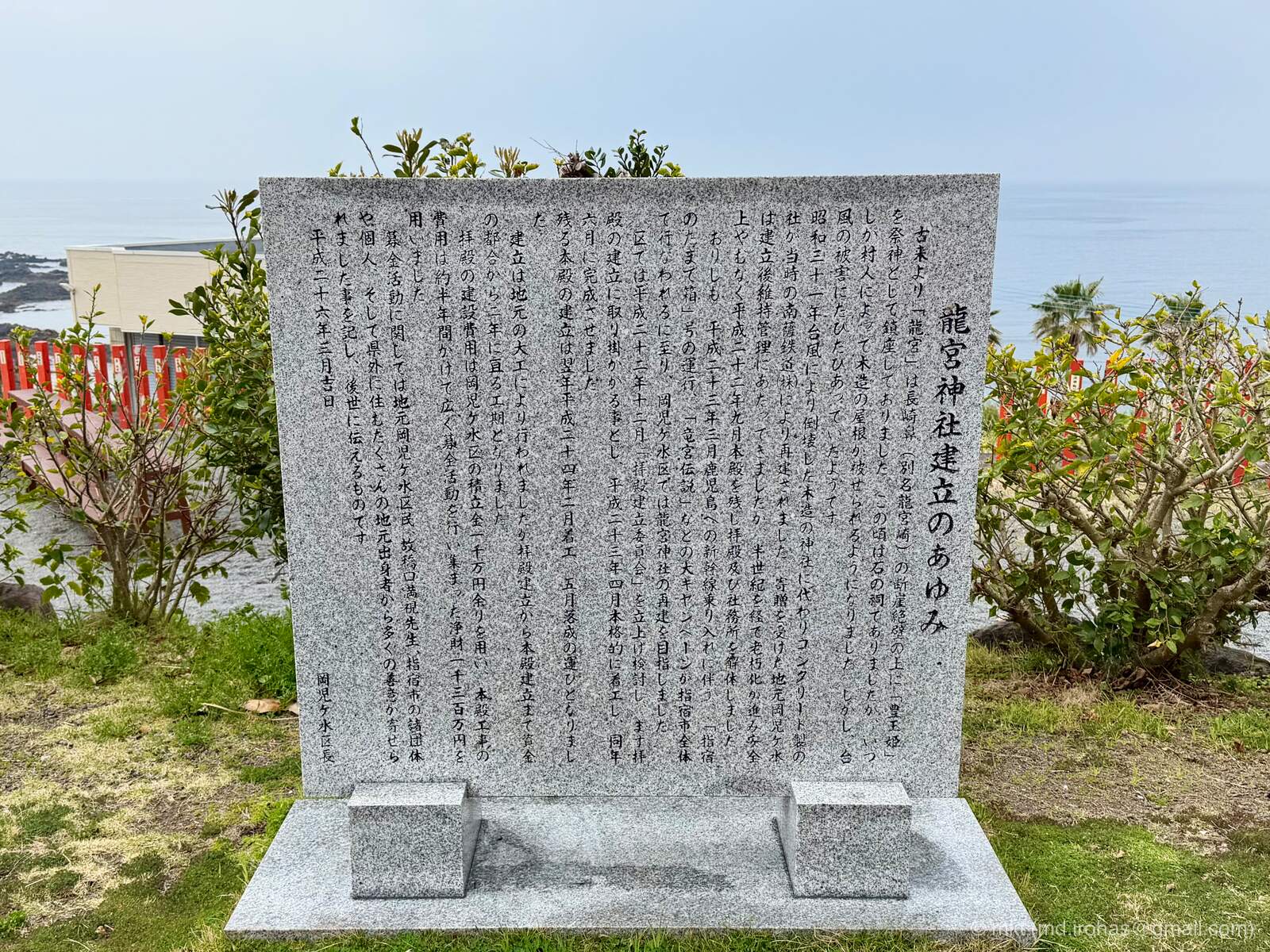
On the way back to the parking lot, I stopped at Ryugu Shrine beside the road. The shrine takes its name from the Dragon Palace in the legend associated with Cape Nagasakibana and appears to have been built relatively recently.
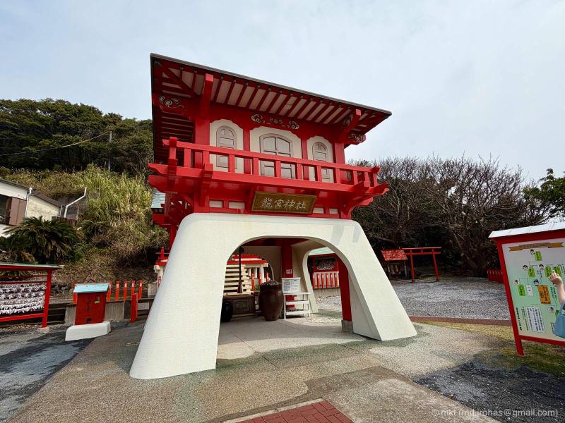
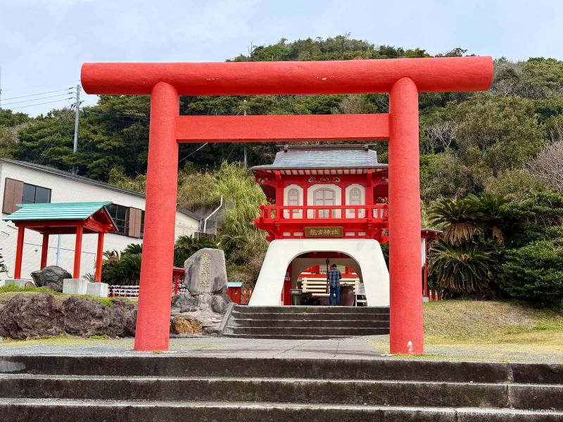
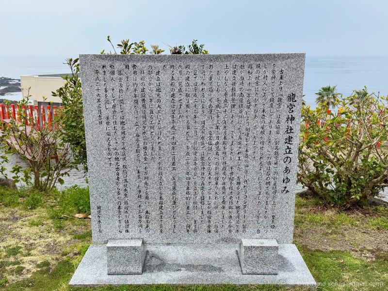
The grounds of the shrine overlook Satsuma-Nagasaki Lighthouse and the path leading toward it.
Tamatebako Onsen #
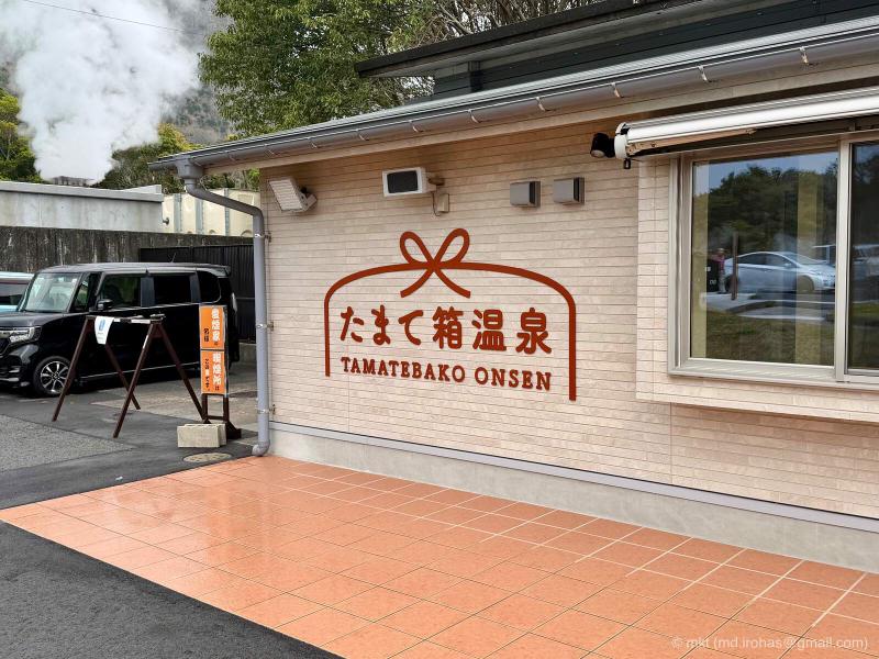
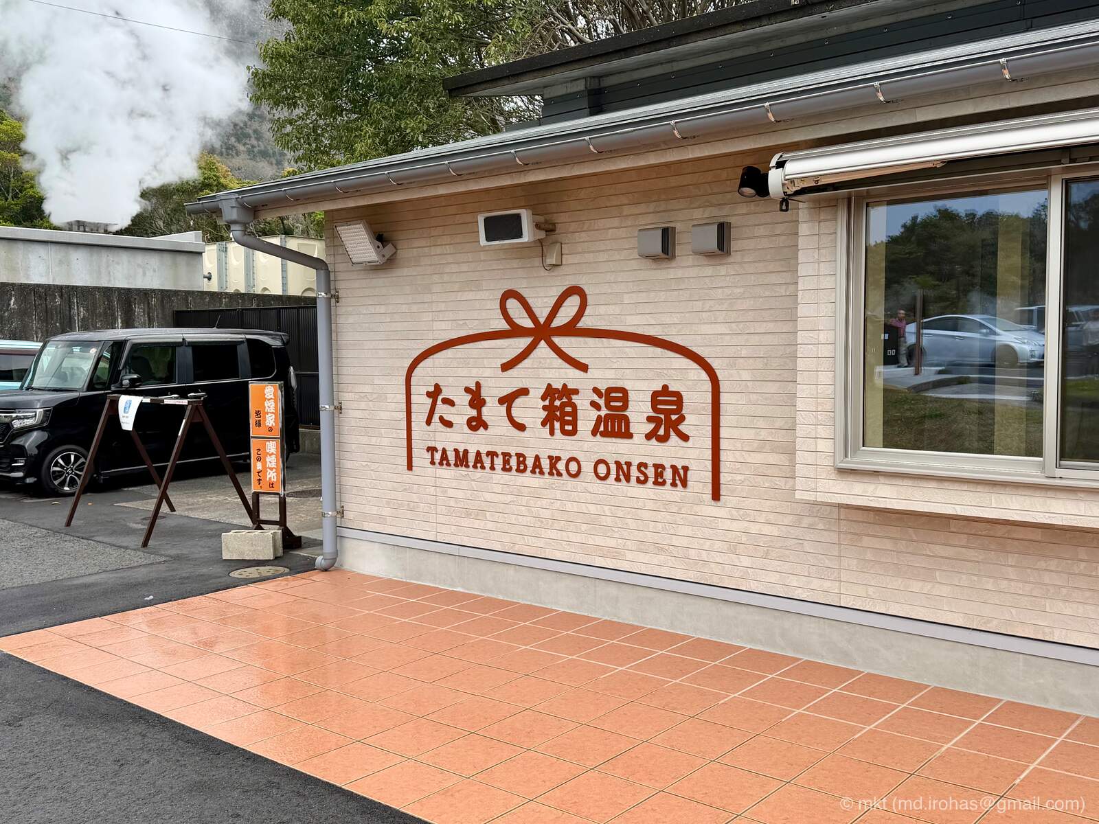
After walking around Cape Nagasakibana, I stopped at Healthy Land’s Tamatebako Onsen on my way back to Kagoshima City.
The name tamatebako refers to the mysterious box that Urashima Taro receives in the folktale associated with the area.
- Healthy Land Open-Air Bath “Tamatebako Onsen” (Japanese only): https://www.ibusuki.or.jp/spa/open/tamatebako/
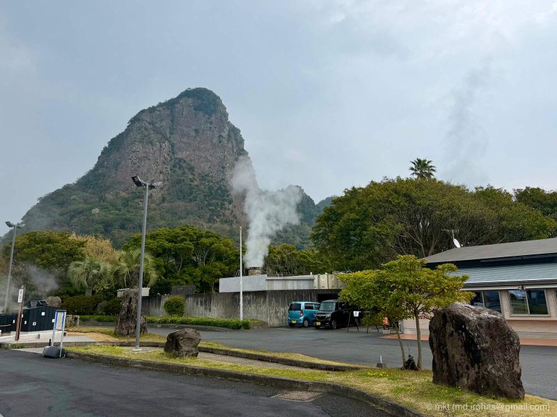
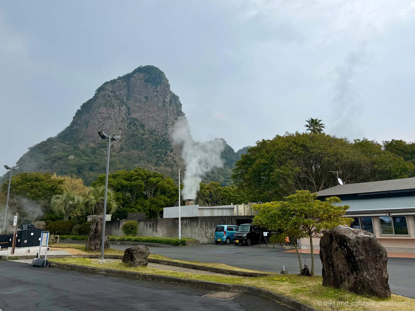
The steep-sided mountain visible from the parking lot was also striking.
The bathing area consists entirely of open-air baths, with an unobstructed and expansive view of the sea.
There were several baths at different temperatures. Even the coolest one was quite hot, and despite the chilly March air, I could not stay in it for very long.
I later learned from the official website that the spring emerges at 100.4°C. The water is cooled by adding water and then flows continuously through the baths.
After taking my time at the onsen, I returned to my hotel in Kagoshima City and brought the day’s travels to an end.
Gallery #
License: CC BY-NC-SA 4.0
You can view the high-resolution images in the Google Photos album.
iPhone 17 Pro #

iPhone 17 Pro (RAW) #
You can download the RAW images from Google Drive.
AI-Generated Paintings #

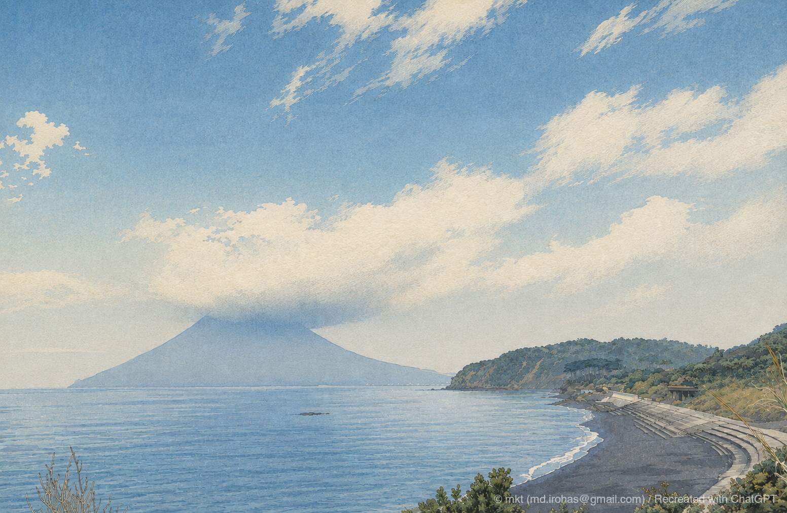
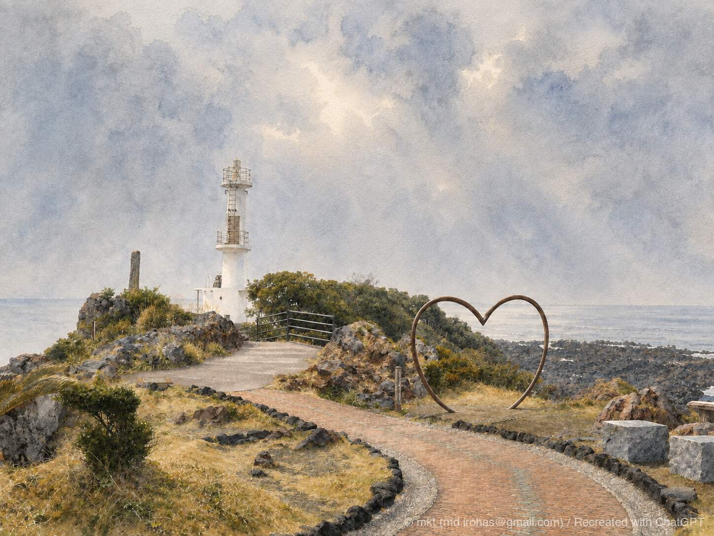
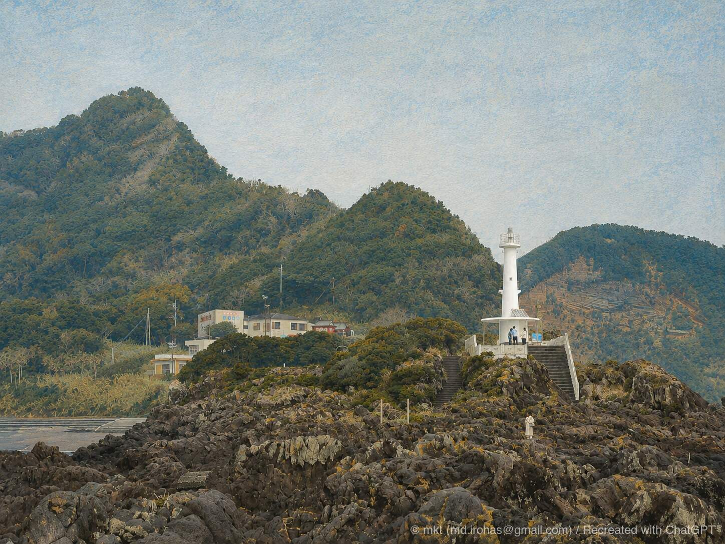
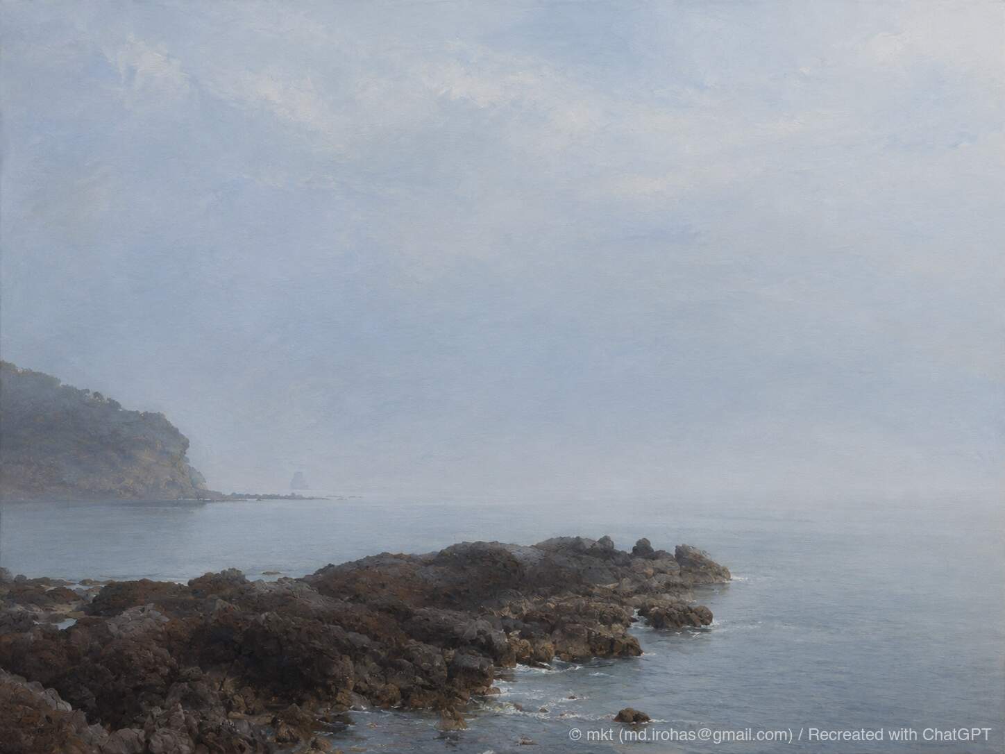
Map #
Chiran Peace Museum #
Cape Nagasakibana #
Tamatebako Onsen #
Change History #
- 2026/09/13: First version.