You can read the Medium version of this article here.
Story #
In March 2026, I stopped by Cape Hyuga while driving around Miyazaki and Kagoshima.
Cape Hyuga is a scenic spot on the Hososhima Peninsula in Hyuga, Miyazaki, known for its dramatic sea cliffs and columnar joints (Wikipedia).
Cape Hyuga is about a 15-minute drive from central Hyuga.
There is parking in front of Umagase Chaya, which also serves as a tourist information center, and a slightly larger parking area a little farther down the slope. I parked there and walked the rest of the way to the cape.
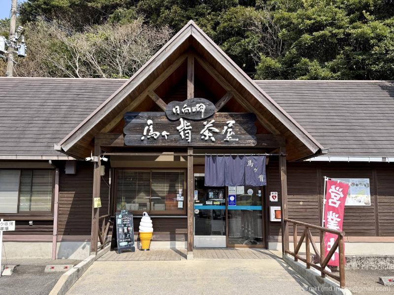
The area has well-maintained walking trails, and from Umagase Chaya you can loop around Umagase, the Cape Hyuga lookout, and Hososhima Lighthouse.
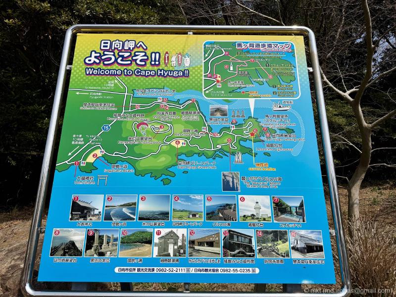
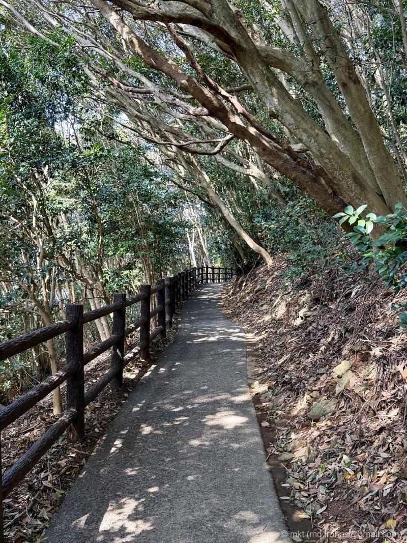
The trail is mostly shaded, and there are signs along the way, so it is hard to get lost.
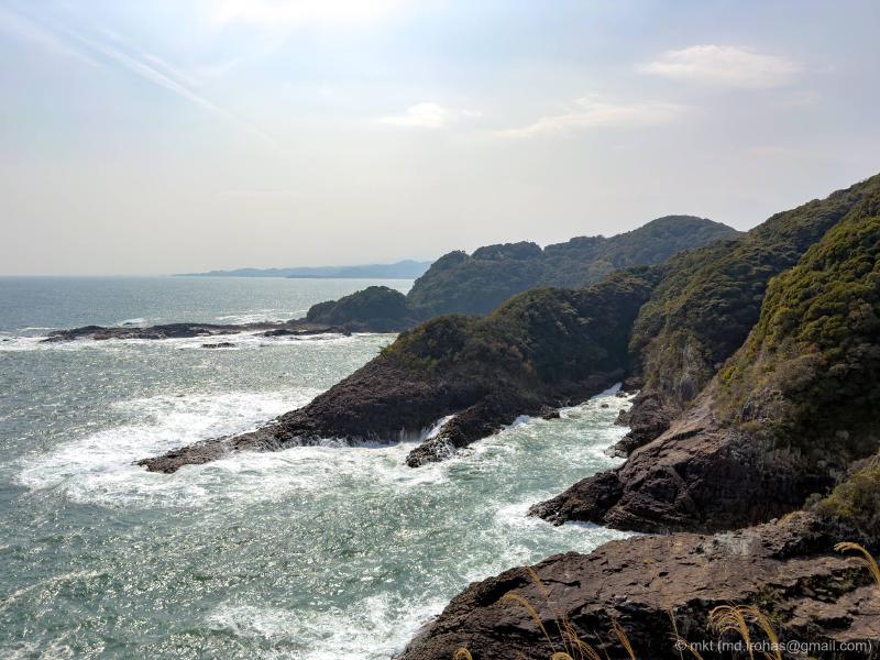
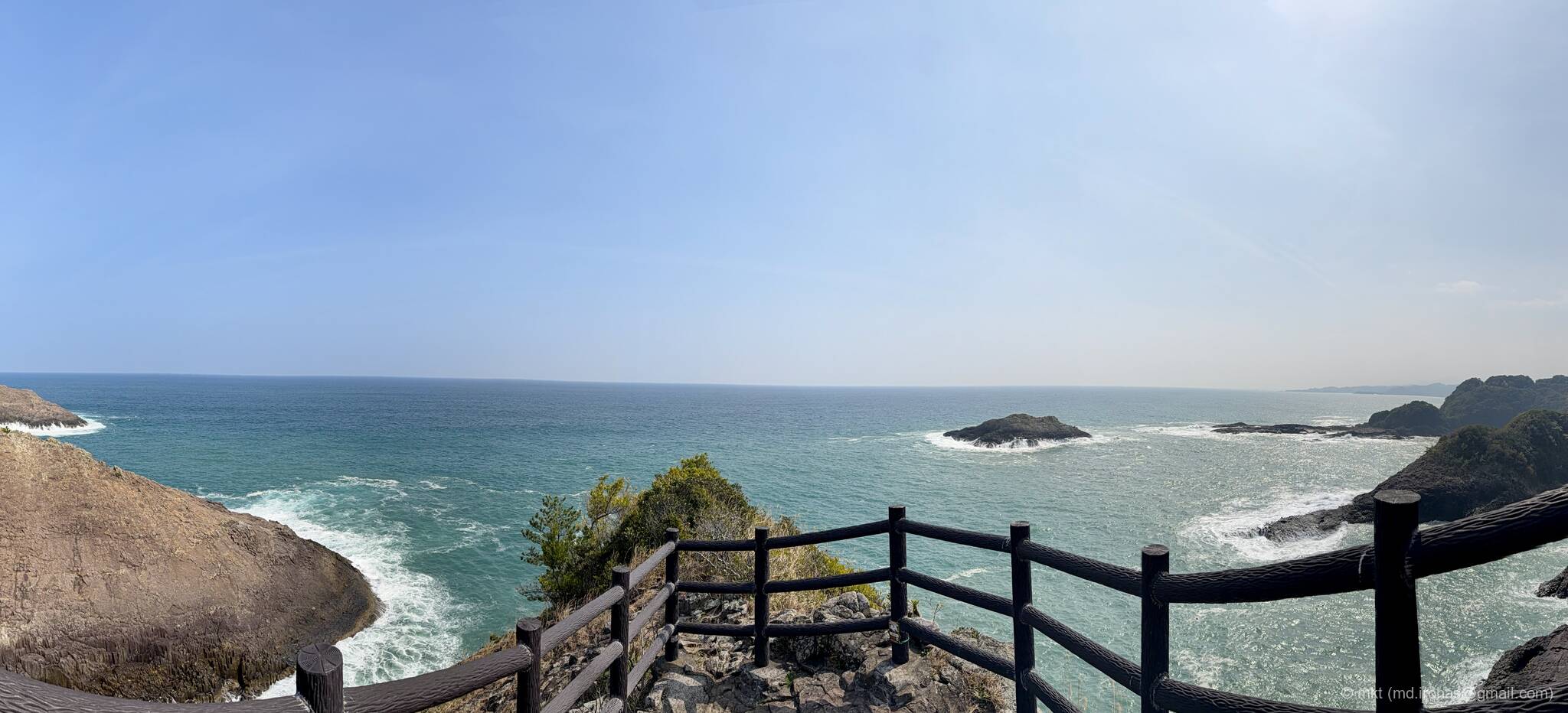
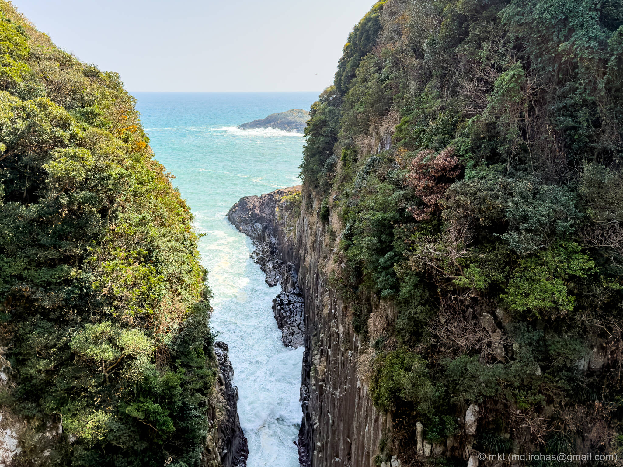
After walking for a bit, I reached the Umagase lookout.

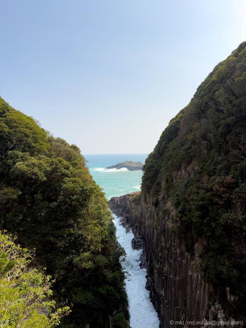
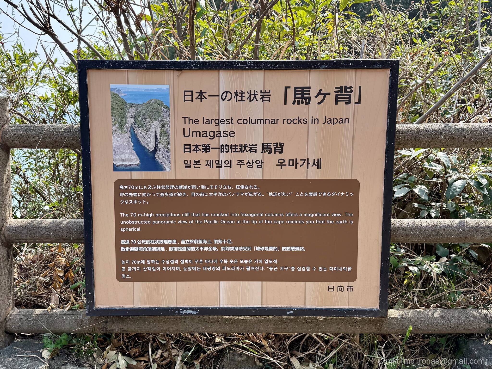
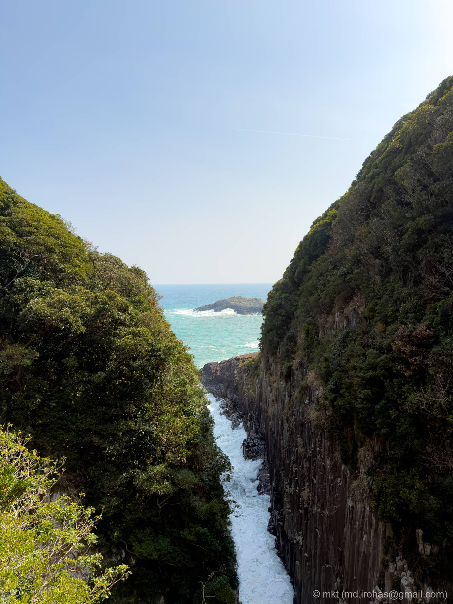
Umagase is a columnar-jointed cliff that rises about 70 meters above the sea.
The lookout is a glass-walled terrace that juts out over the cliff, letting you peer straight down.
I was a little shaky from the height, but I still tried my best to take this shot without dropping my iPhone. I wish I had managed to capture the base of the cliff too, but no such luck.

The waves were high that day, and white surf kept crashing hard against the cliff. Standing on the terrace, it felt far more dramatic than this photo can really show.
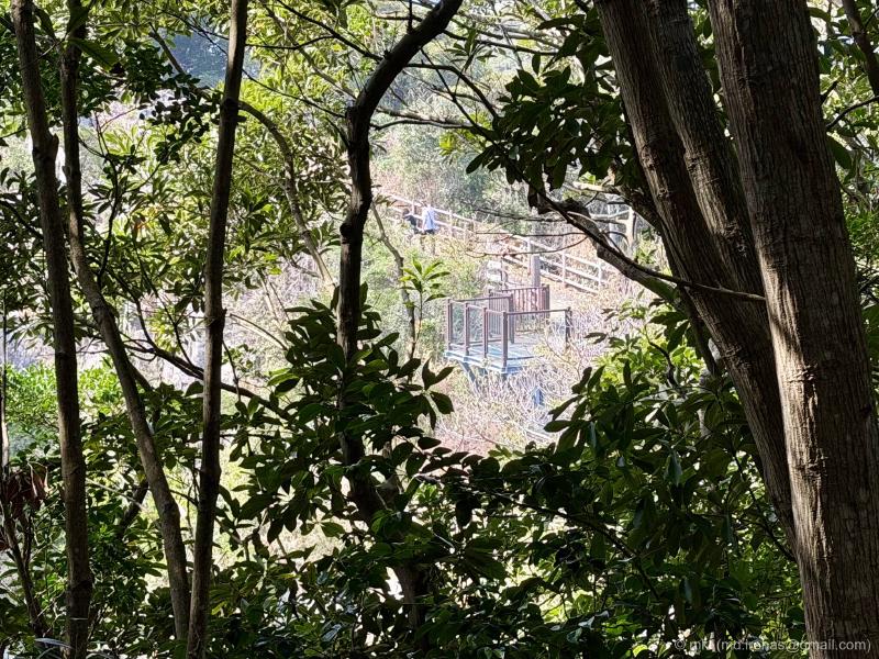
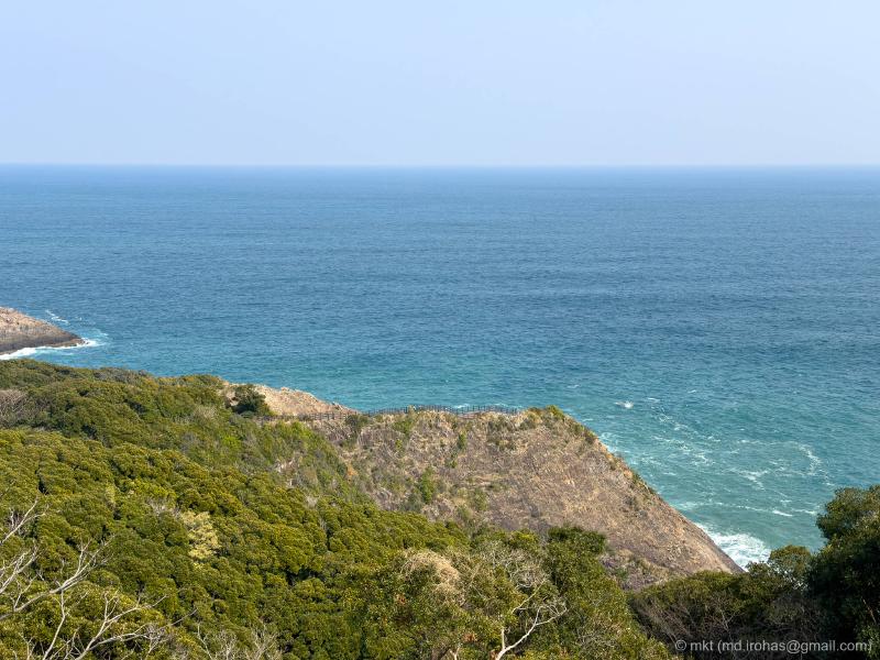
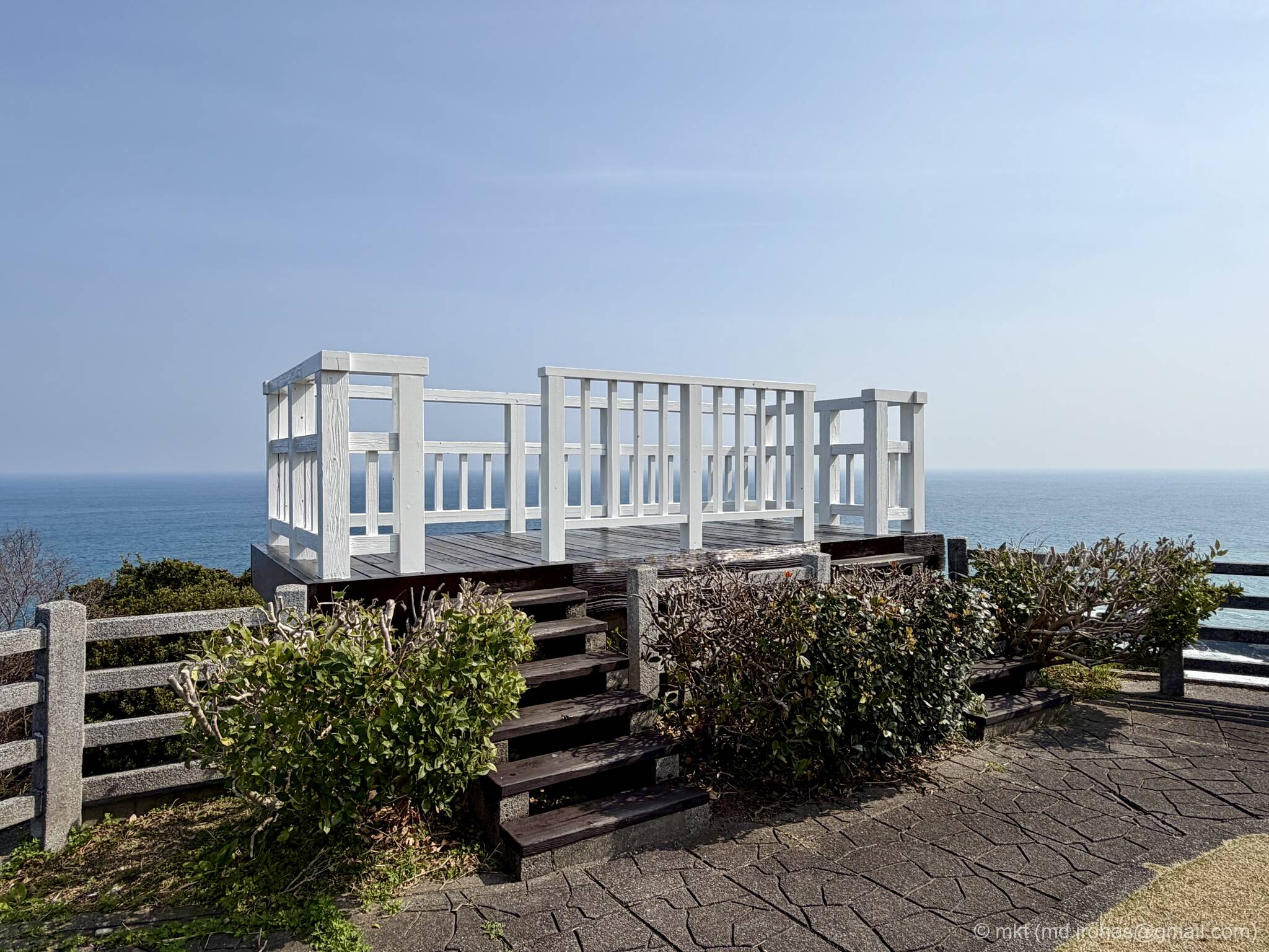
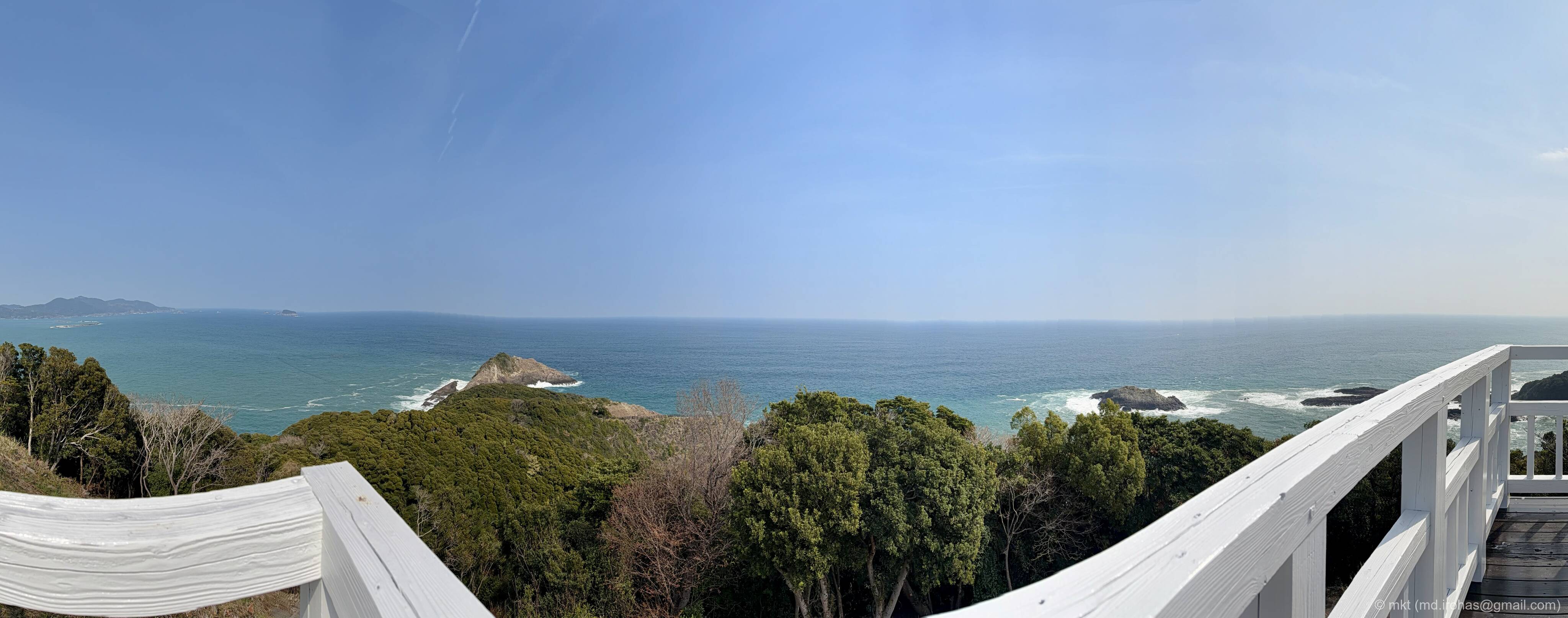
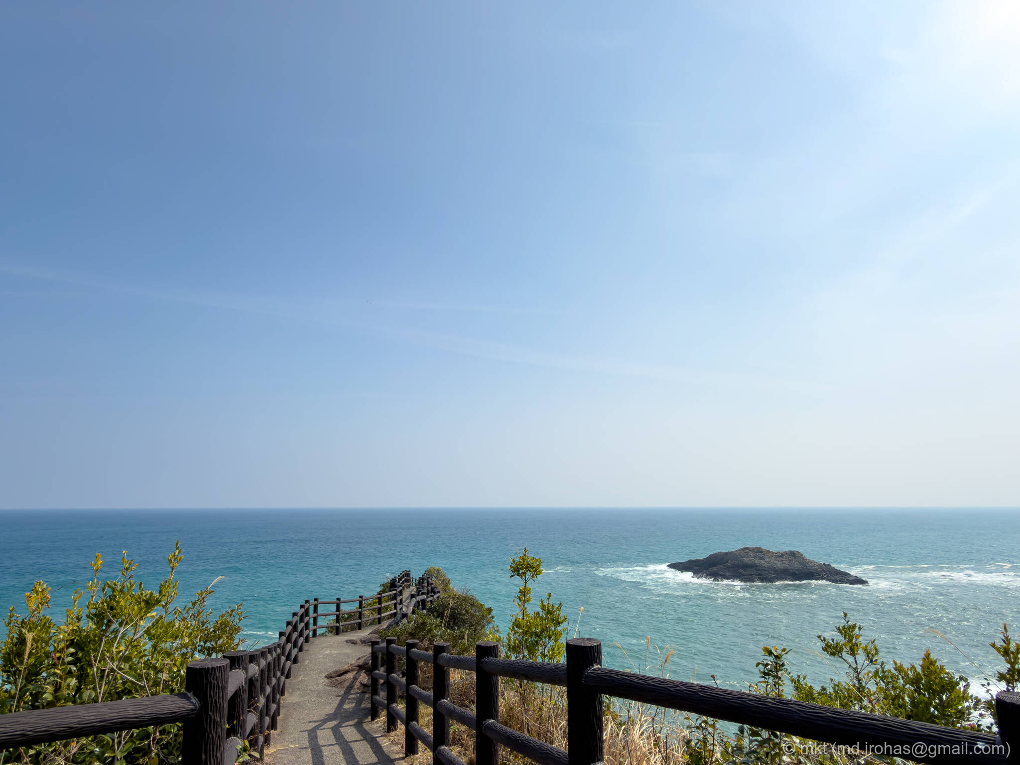
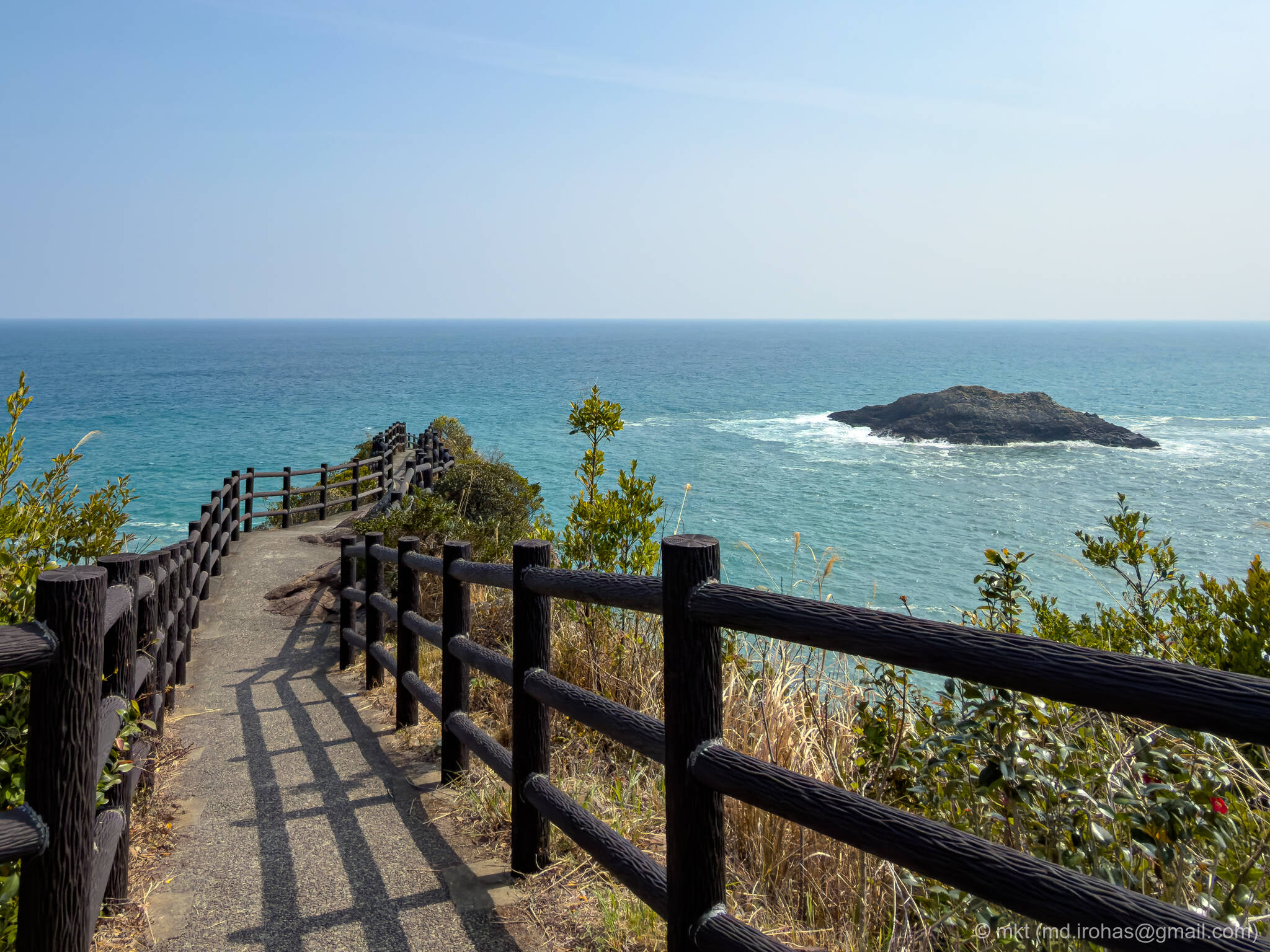
If you keep walking a little farther past Umagase, you arrive at the Cape Hyuga lookout.
The path here has railings, and from there you can walk along the ridge all the way to the cape.
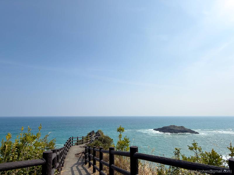

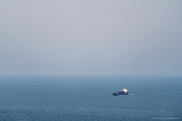
These are the views from Cape Hyuga.
I was overwhelmed by the roar of the sea wind and the waves crashing below.
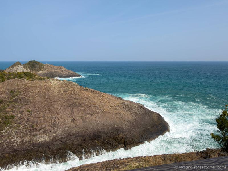
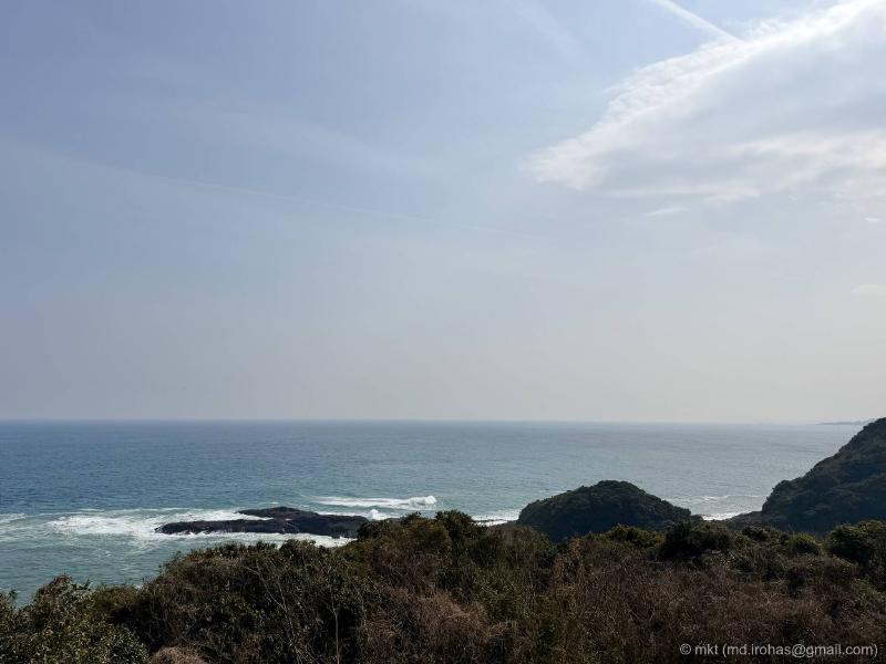
On the way back, I took one more photo of Umagase.
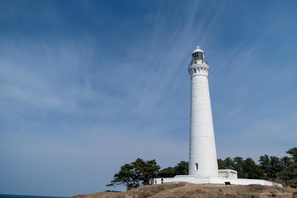
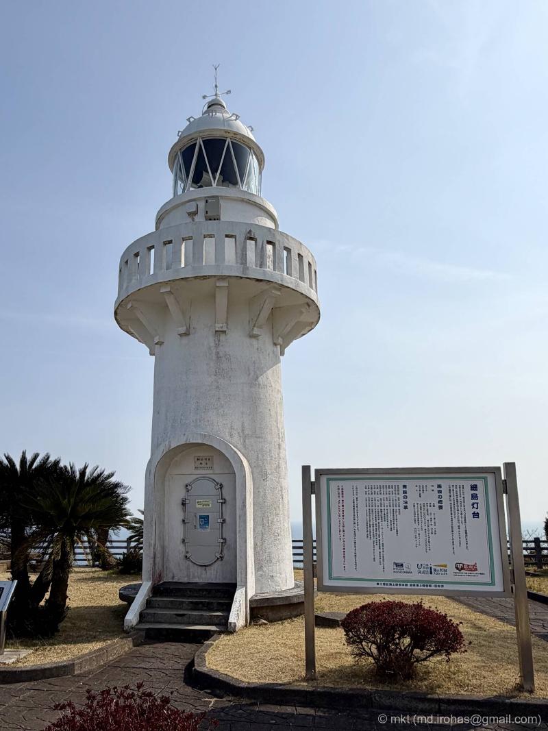
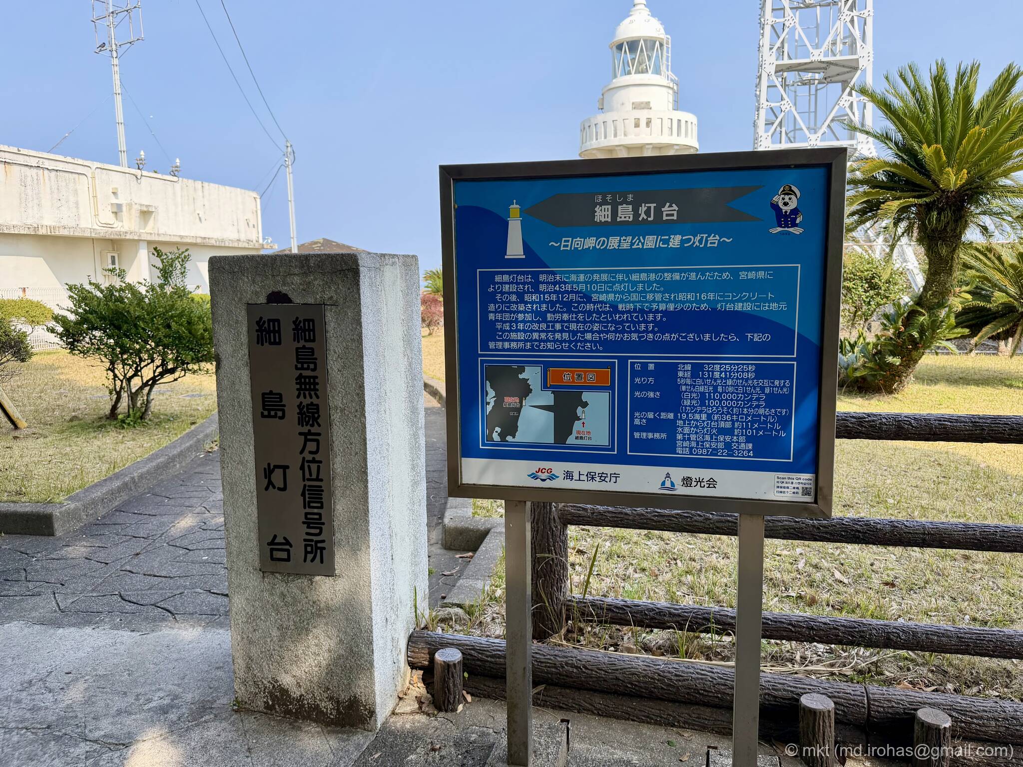
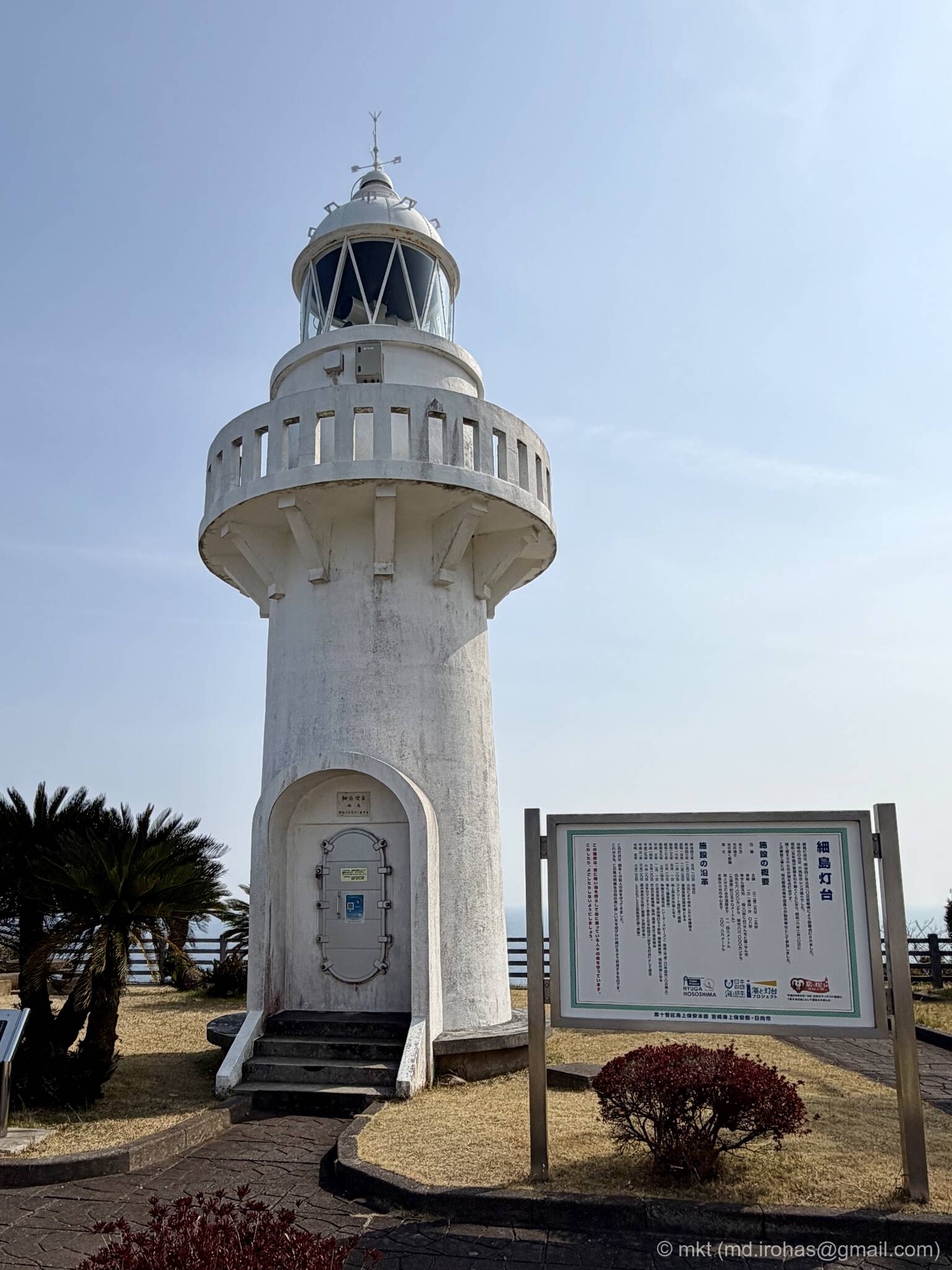
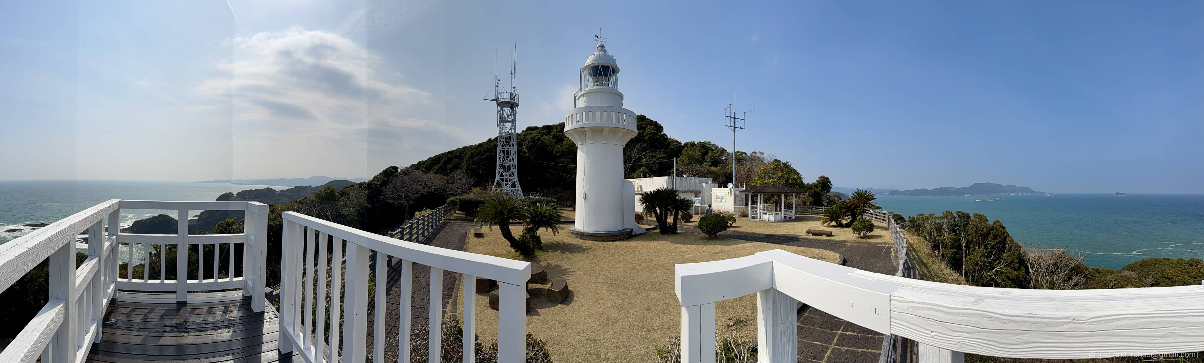
From a fork in the trail, I headed over to Hososhima Lighthouse.

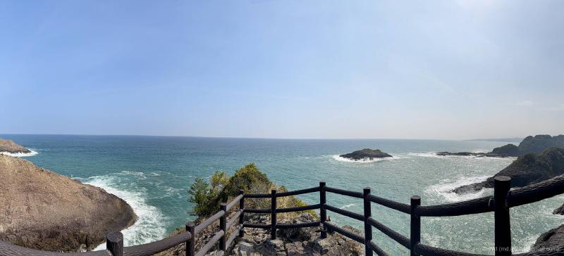
There is an observation deck just beyond the lighthouse.
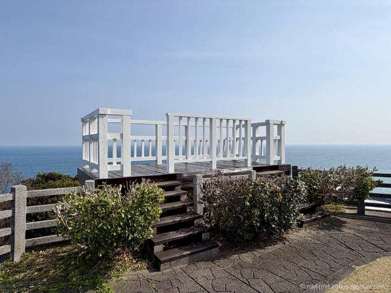
From the deck, you get panoramic views of both the Hyuga-nada Sea and the lighthouse.

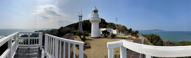
I still need to put more thought into composition when I shoot panoramas.
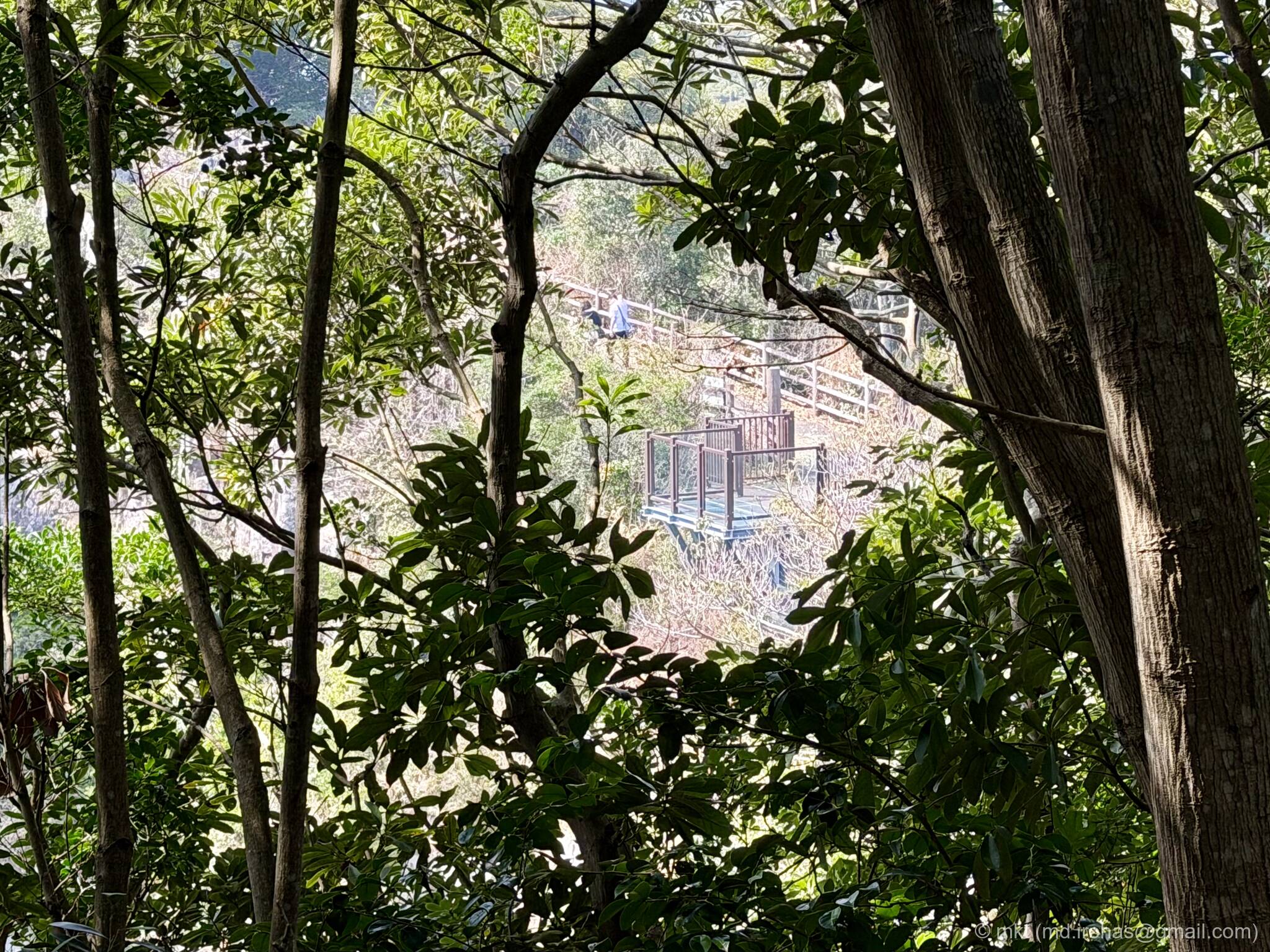
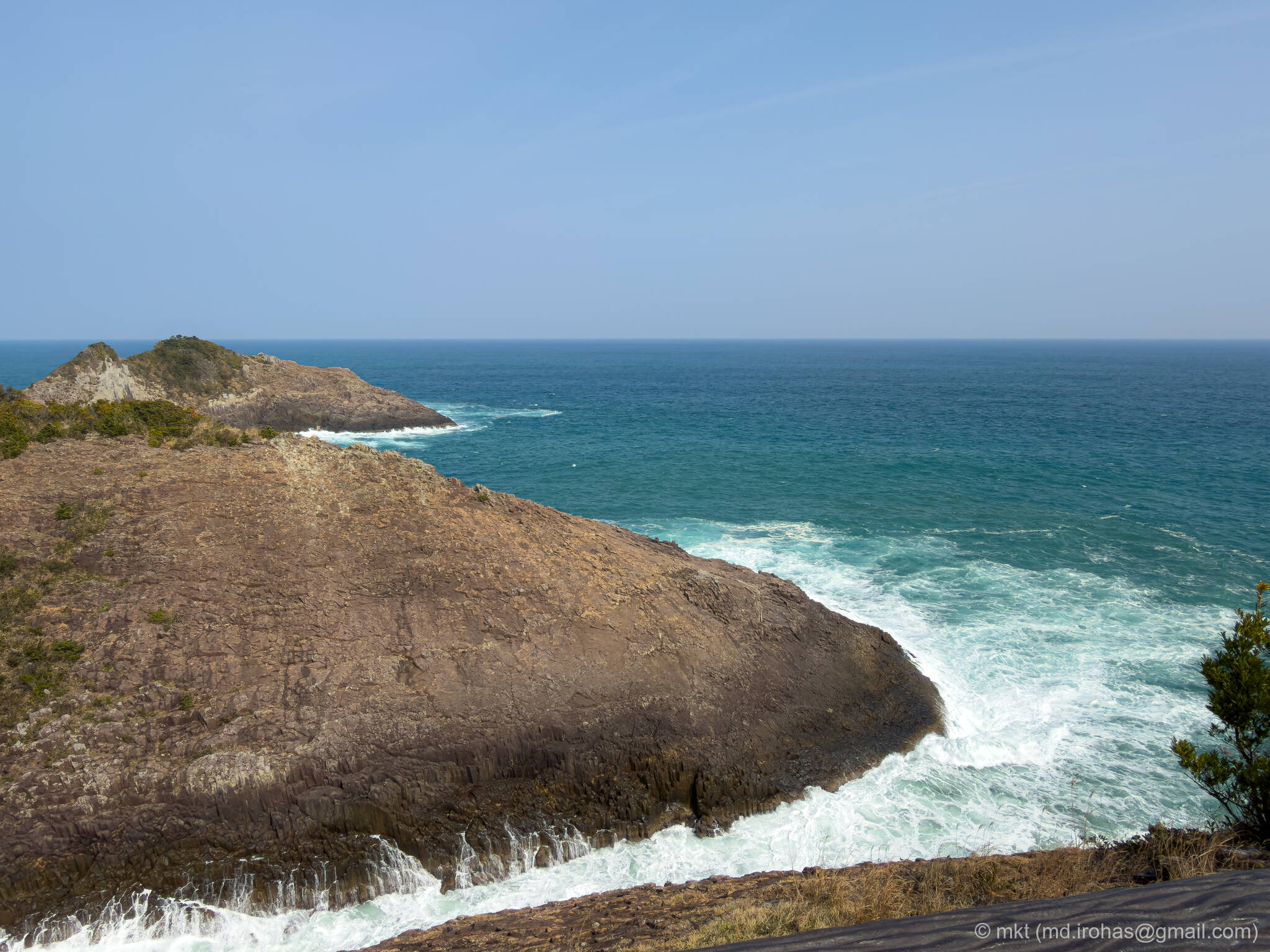
From near the deck, you can also see the Cape Hyuga lookout. From this angle, you can really tell how it projects out over the cliff.
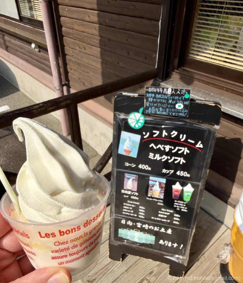
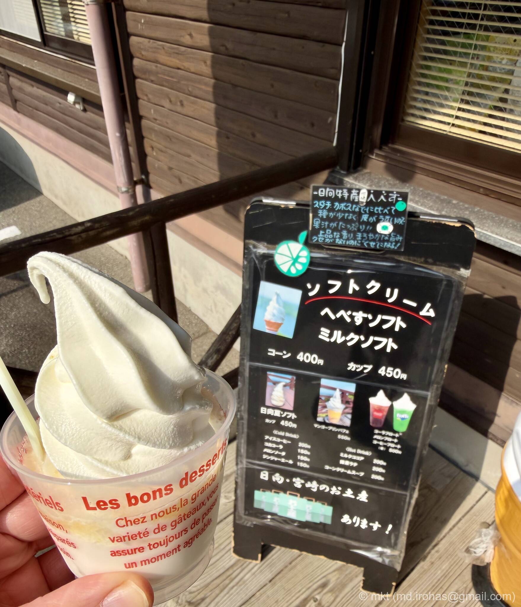
After that, I walked back to Umagase Chaya and had some soft serve. It was Hyuganatsu flavor. Hyuganatsu (Wikipedia) is a local citrus fruit from Miyazaki, and its sweet-tart flavor was perfect after the walk.
I spent about an hour strolling around and taking photos at an easy pace.
Cape Hyuga is a great place to enjoy the sea, cliffs, and lighthouse all in one stop, so if you are visiting the Hyuga area, it is well worth a visit.
Gallery #
License: CC BY-NC-SA 4.0
You can view the Google Photos album here.
iPhone 17 Pro #


iPhone 17 Pro (RAW) #


You can download the RAW images here.
Map #
Change History #
- 2026/05/21: First version.